Restoration Park is one of our City’s more popular parks. It is highly visible from Interstate 20 and attracts a number of people to walk it’s perimeter gravel trail. However, the park has an extremely interesting history. Restoration Park, as part of Louisiana, has a long and complex geologic history. For a large portion of the Earth’s 4.6 billion years of existence, Restoration Park and the rest of what is now Louisiana were covered by the seas for billions of years. Only recently in the geologic history of the Earth has Restoration Park been emergent or part of the land.
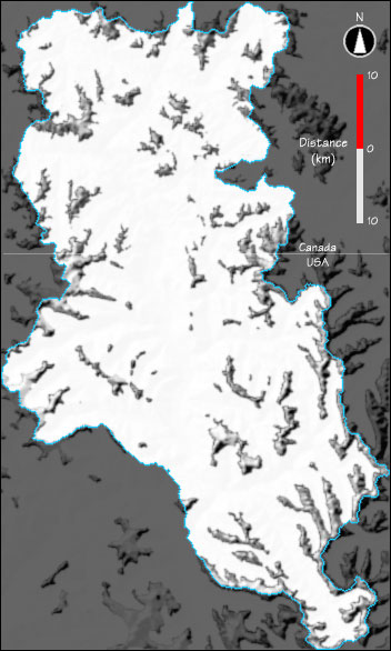
Over the last two million years during a time known as the Pleistocene Epoch, massive sheets of ice known as glaciers extended for thousands of square miles covering most of Canada and the northern United States.

These Pleistocene glaciers had a tremendous effect upon North America by scouring the land and reshaping the landscape. The tremendous erosive power of these glaciers carved the Great Lakes between Canada and the United States. The glaciers advanced and retreated numerous times. Whenever they retreated, huge volumes of ice melted forming thousands of rivers and streams that carried gravel, sand, and silt southward toward the Gulf of Mexico. As the rivers crossed Louisiana, some sediment was deposited forming extensive layers of sand and gravel. Deposits of these types were common in Ouachita Parish, and one thick deposit formed at the site of Restoration Park. Thousands of years later, this sand and gravel deposit was extracted forming the depression now present at Restoration Park.
Evidence of the Pleistocene gravels and sands from the melting of the glaciers can still be found in many places in Restoration Park, expecially along the creek and the sides of the old quarry. The sides of the old quarry can be easily detected as steep areas common along the crushed rock walking trails. The gravels, which were eroded from the northern part of the United States, were transported by the glacial meltwater rivers to Restoration Park.
To claim your visit to this Earthcache site, please complete and submit answers to the following five tasks prior to logging your visit. Answers can be emailed to me. Please, do not post answers in your online log. You do not need to wait for a confirmation to log the Earthcache, however, failure to provide the required info will result in your log being deleted.
The first three questions are from the sign at the posted coordinates:
1. What Kind of Park is Restoration Park?
2. How long was the Sand & Gravel mining operation in business?
3. The City won awards for its plans for the park from the Louisiana Urban Forestry Council. There are three, name them.
4. Estimate the width of the quarry from Overlook Platform #1. (See below for completing the Earthcache tasks.)
5. Take a photo of you and your group with the old gravel mine in the background at Overlook Platform #1 and post it with your log.
For the last two tasks you have to take the short hike down the trail (keep to the left) until you reach Overlook Platform #1. (At N 32 30.560 W 092 10.156 approximately a .25 mile hike) Be sure to notice the terrain and see if you can tell where the old quarry started. Thanks for taking time to stop at Restoration Park, I hope you enjoyed the visit.

|
| I have earned GSA's highest level: |
 |