Yes, it’s a D3.5...you like a good challenge and didn’t expect all of the Oconto County History series to be easy, did you?!! The first two sets of waypoints only contain coordinates. The final has a camoed container that holds small trade items, but requires a unique tool to access it which you will find nearby with a little searching. Please be sure that waypoints, final, and tool are replaced correctly.

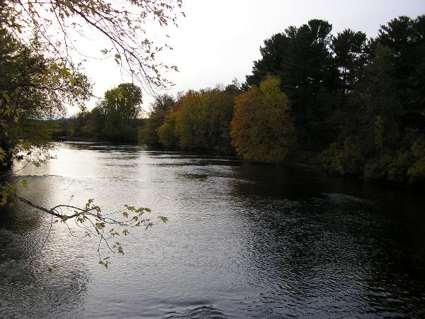
Just south of Stiles and easily seen from Highway 41, this one-lane bridge once carried vehicles across the Oconto River. Today the bridge is closed to traffic, but snowmobiles and pedestrians can visit it in any season. It is maintained by a local snowmobile club and is popular with fisherman.
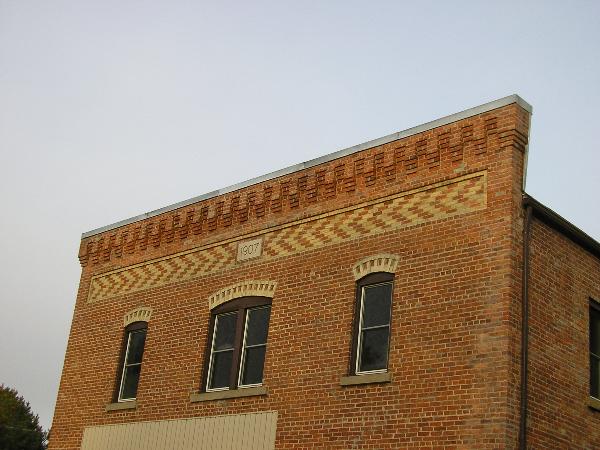
The settlement of Stiles itself has changed considerably since the lumbering era…the stores and mills no longer exist although signs of them remain along the river trail. A few of the houses constructed by the Eldred Company for workers still exist, as does the Machickanee Flowage, which was named for Chief Machick, the only native American employed by the company. The flowage was originally created by an Eldred Company dam owned by Oconto Electric Cooperative. The businesses operated by Anson Eldred and his family played a significant role in the development of Oconto County’s logging industry. Eldred, arriving in Milwaukee in 1842, was the earliest and most influential of Oconto County pine era lumbermen. His empire was concentrated in the community of Stiles, a village which he literally built as a company town and named for his son and partner, Howard Stiles Eldred. The town had both a planing mill and saw mill at one time, which later were converted to a pulp mill, and boomed when the Chicago, Milwaukee, and St. Paul railroad line was constructed. The community even had electric power generated by the Civil War-era water wheel under the pulp mill. As the lumber trade declined, the company diversified, sold off their holdings, and Stiles began to fade from its earlier glory years.
The coordinates will bring you to a public boat landing and parking area on the Machickanee Flowage. There you will find the coordinates to the next waypoint, only a short distance away. All waypoints are winter friendly and available in every season. No bushwacking is required at the first two waypoints and only minimal bushwacking is needed for the final of this 3 stage multi-, provided you follow the trail. These areas are VERY popular with fishermen during the fishing season so be wary, be cautious, and be sneaky.