Short hike on the east side of Delkatla flats, a great leisurely walk with a view of the sanctuary and the migratory birds. Gumboot country. This is one to make you think. There are 4 stops, no two of which are more than a couple of hundred metres apart. If your calculations send you further, then calculate again!!!
This is the code you will need to solve the coordinates for stages 2, 3 and 4
AFKU=0
TW=1
EHM=2
DRV=3
GO=4
CP=5
BQS=6
JNY=7
IX=8
LZ=9
Make your way to Stage 1 at N54 01.432, W 132 08.277.
This man made structure has a symbol carved into it. What is the symbol called?? (2 letters). Insert the corresponding numbers into the Stage 2 coordinates: N 54.01.?76 W 132.08.?31
Stage 2 is also a man made structure. Name the type of structure and insert the corresponding numbers into the stage 3 coordinates: N54.01.??4 W132.08.1??
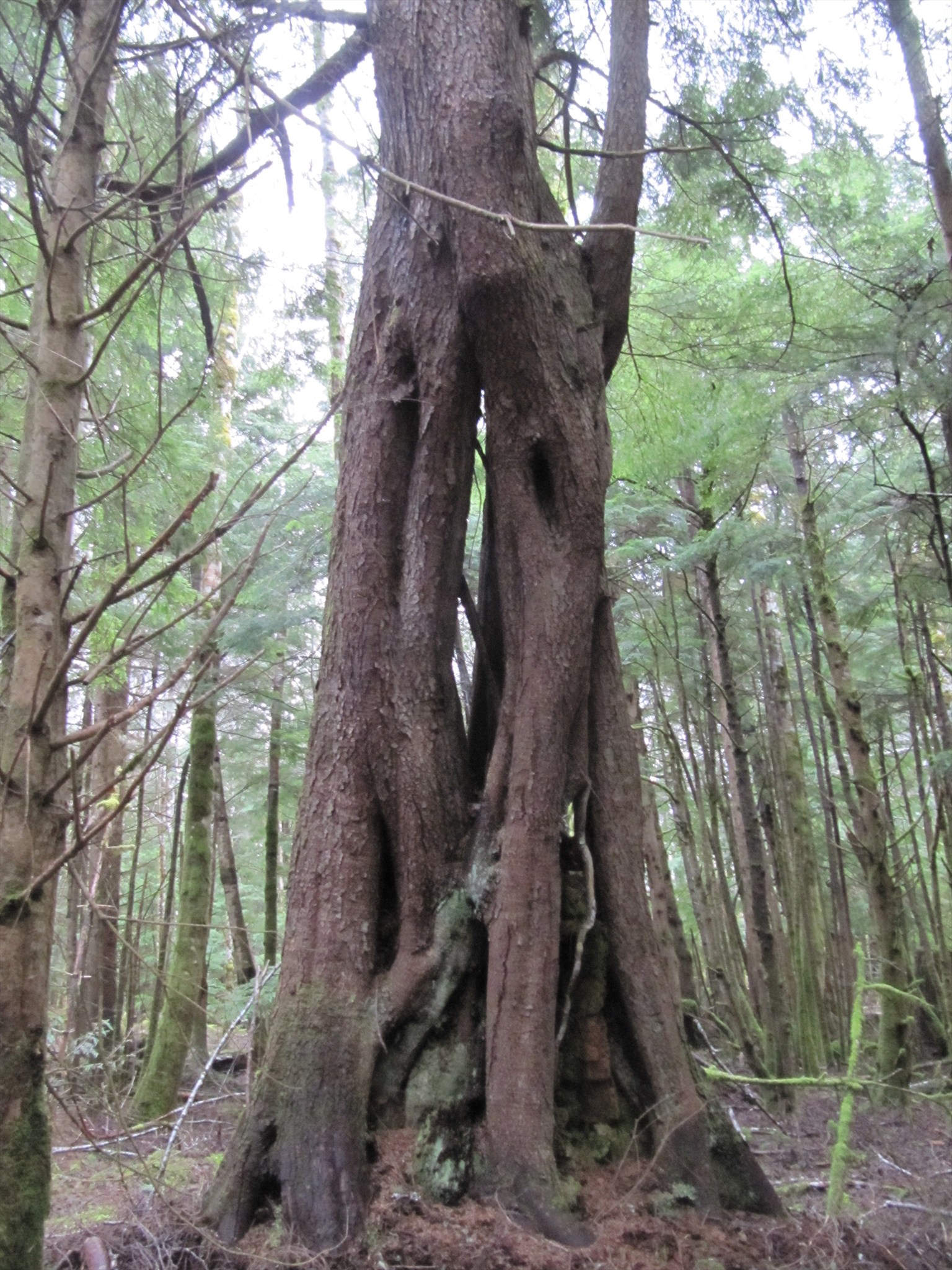
Follow the trail to Stage 3, a weird structure on your right. Could be called a number of things, but I named it an architectural feature. Figure it out! The final destination is only around 100m away. Stage 4 coordinates: N54.?1.?5? W132.08.01?
You’ll find the cache hidden in this final structure. Happy hunting! If you get stumped, email me!!