Mount Si Trailhead Traditional Geocache
-
Difficulty:
-

-
Terrain:
-
Size:  (micro)
Please note Use of geocaching.com services is subject to the terms and conditions
in our disclaimer.
The Mount Si Trail is very popular for casual and more experienced hikers alike, in fact it’s the most popular hike in Washington!
Often the more experienced hikers are using the trail during the winter for training to stay in shape while other trails are covered in snow. Also, since it the closest significant hike to the city it’s popular for training for major summits; its said that if you can climb Si twice in one day then you’re ready to conquer Mount Rainier.
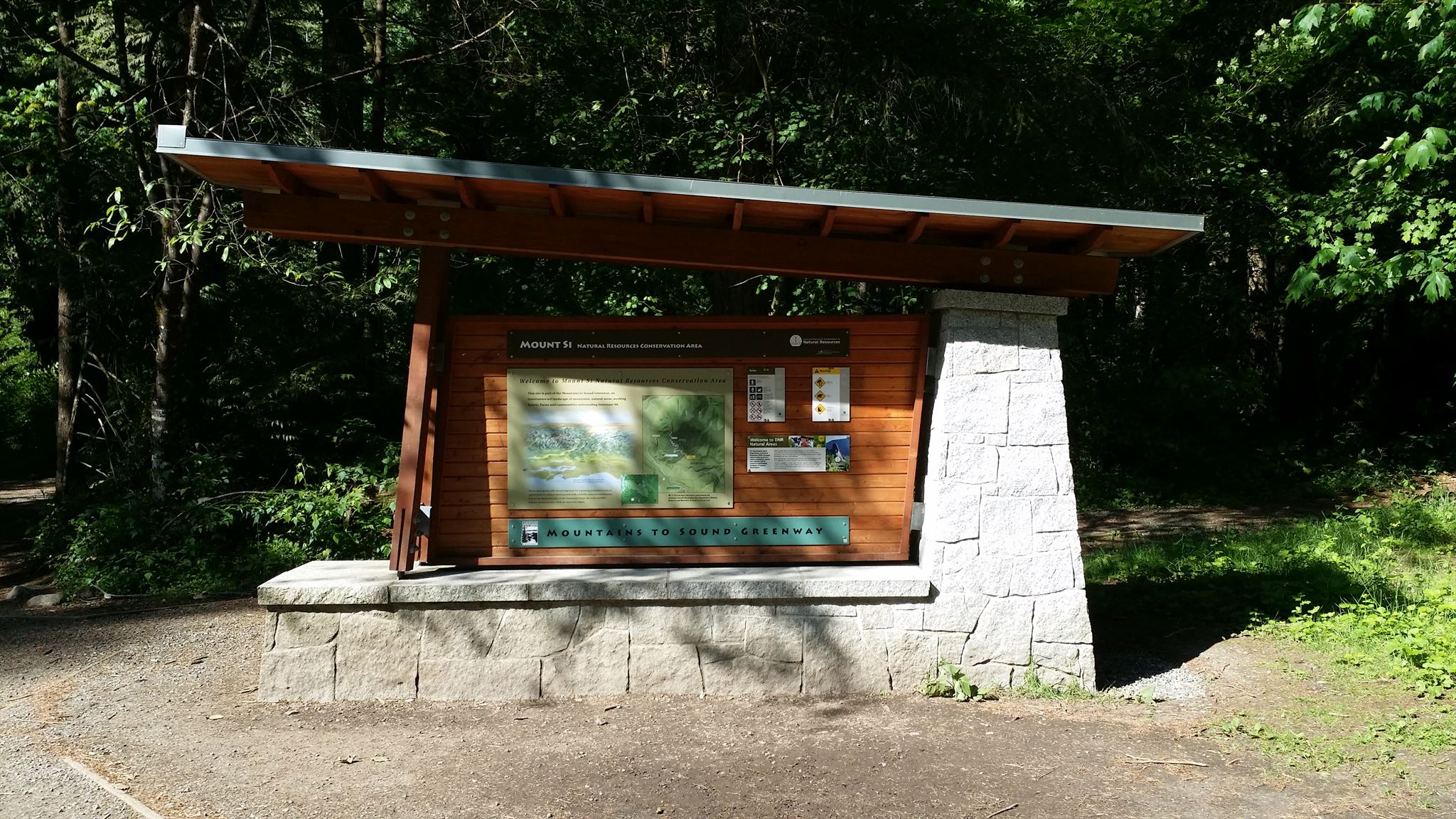
The parking is quite large so space should be available. There are also bathrooms and picnic benches available. Use the bathrooms at your own risk, due to the volume of people that use this trail, they are known to be the worst around.
While the parking area gate is locked at night it's still ok to access the trailhead and trail. To park in the parking area a Discover Pass is necessary (though a quick grab of the cache should be fine). Park outside the gate during daylight hours is at your own risk as it's clearly marked no parking you may get a ticket.
Mount Si by Washington Trails Association
Mount Si should be experienced at least once by every hiker. In fact, a significant number of Puget Sound residents do just one hike per year, and these annual hikers almost invariably turn to Mount Si every time. In the early spring, mountain-loving backpackers and climbers use the trail as a tune-up for the coming season. Others come because the trail is one of few that becomes snow-free early in the year. Land managers estimate that Si draws between thirty thousand and fifty thousand visitors a year, making it the most heavily used trail in the state. As a result, on any sunny summer weekend the trail will be crowded--almost to the point of having to take a number and get in line. Really, it's not that bad, and the steep trail soon separates the serious hiker from the casual mall walker. And Si's payoff is incredible: views of the Upper Snoqualmie Valley, the Puget Sound basin, and far beyond.
From the broad parking lot, the trail climbs moderately for 1 mile to the first views of the long hike. Here, at around 1600 feet, you'll find wonderful views from atop a rocky bluff on the side of the mountain. Hikers short on time and stamina could turn around here for a modest 2-mile outing.
As you near the 1.8-mile mark, you'll sweep alongside a small brook, with grassy banks on which to rest. This is Snag Flat--the site of an old burn, as evidenced by the blackened scars on the trunks of many of the old Douglas-firs in the area.
The trail then pushes on, never wavering from its steep ascent, until you finally crest the last slope and step out into the wildflower-filled meadow at the summit, or rather, the summit basin. The true summit of Si is atop the big rock "haystack" that towers over the edge of the meadow. The haystack does sport a scramble path to its summit, but the route is tricky, with incredible exposure (one slip and you'll plummet hundreds--thousands?--of feet). It's best not to attempt the Haystack, especially considering the added danger of other people kicking loose rock down, creating deadly missiles from above. Besides, the views atop the rock are no better than those you'll enjoy from the meadows at its base.
More Info
Washington Trails Association
MountSi.com
SummitPost.org
PeakBagger.com
Washington State Department of Natural Resources: Mount Si NRCA
Weather (summit)
The Cache
Log only, you'll need to bring a pen. You should be able to quickly deduce its location and even grab and replace when the general public around but as always please use stealth as appropriate.
Additional Hints
(Decrypt)
[spoiler] fvta zntargvp ovfba