

⛅️ AIR & WATER 💧


Rua do Moinho de Vento
Algumas ruas devem o seu nome a nelas terem existido algo. É o caso do arruamento "Canada do Moinho de Vento", onde ainda se encontra as paredes de um antigo moinho, propriedade da família do Visconde do Porto Formoso.
Estes moinhos do século XVII, terão sido apenas experiências isoladas e usariam tecnologia diferente dos do século XIX. Tanto antes como depois da expansão dos moinhos de vento pela metade poente de São Miguel, podemos traçar uma linha divisória imaginária cortando de norte a sul desta ilha tendo como limites, a sul, a Vila de Água de Pau, e, a norte, a Ribeira Grande. A razão deve- se ao facto de a nascente desta fronteira existirem mais ribeiras e nascentes com capacidade para mover os moinhos de água , e a poente desta, os de vento. No Concelho de Ponta Delgada, em 1911, existiram 38 moinhos de água para 45 moinhos de vento.Reduzidos, em 2012, a dois moinhos de água na Ribeira Grande e a pouco mais em toda a ilha, os moinhos de São Miguel foram derrotados pelo aparecimento das moagens elétricas.
 WINDMILL ROAD
Some streets were named after something that existed there. This is the case of the street layout "Windmill ROAD", there still are remains of an old mill there, it was owned by the family of Porto Formoso Viscount.
In the seventeenth century these mills were isolated experiences and used different technology from the nineteenth century ones. Both before and after the expansion of the western half of San Miguel windmills, we can trace an imaginary dividing line through north and south of this island having as limits on the south, the Água de Pau Vila, and the north, Ribeira Grande. The reason is due to the fact that in the north there are more streams and springs able to move the water mills, and the south wind to power the windmills. The Municipality of Ponta Delgada, in 1911, there were 38 water mills for 45 windmills.Reduced in 2012 to two water mills in Ribeira Grande and just over across the island, the San Miguel mills were defeated by the appearance of electric mills.

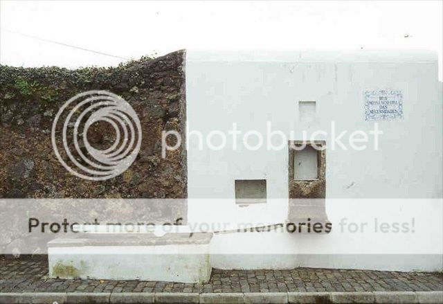
Fonte das Necessidades
No fim do século XIX, a Câmara de Ponta Delgada estabeleceu uma rede de fontes na localidade, entre elas, a Fonte das Necessidades [1888].
Algumas ainda existem mais ou menos degradadas, outras já desaparecidas, como é o caso do fontenário do Pico do Fogo.
Necessidades Fountain
In the late nineteenth century, the Municipality of Ponta Delgada established a network of sources in the locality, one of them being the Necessidades Fountain [1888].
Some are more or less degraded, other already disappeared.
cache
Zona de muggles,seja discreto.
Muggle area,be discret.