You might want to work on my
Tombstones Rock at the same time you
do this one. If you plan ahead on both of them you could save
yourself some driving.
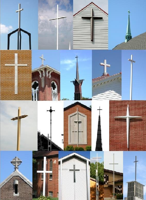
If you decide to accept this mission you will have to locate
numerous crosses to find what hundred block the church is on. The
sum of the hundred blocks (including church C-1) divided by two
numbers will provide the decimal latitude and the decimal longitude
of the geocache. The math you will need to use is shown in red font
at the bottom of this page.
You may want to try the free download version of Google Earth
here. It can
be set to plot the location of churches. Since I give you the
position of what I call the “home church” and give you the
direction (bearing or azimuth) and approximate mileage to each of
the other churches from that church, you could print an image of
Waterloo which shows the church positions. Then, if you so desire,
you could use a circular protractor and a scale (that you would
have to make) to draw lines from the home church in all the
different bearings I give you. Where the line comes close to a
marked church, you could assume that that must be the place.
However, it would be best to actually drive there and make sure
that it is a church at which there is a cross.
The method of choice for locating the right churches is to take
advantage of that fact that I provided the “back bearing” of each
cross. To use this you will have to have your GPSr set to show a
bearing. The back bearing is the angle from north (going clockwise)
that the home church is FROM the church you are trying to find.
Using back bearings you will eventually drive very close to the
church you are looking for. As said before, I do give a range of
distance to each church from the home church as well.
NOTE! To use the back bearing technique, you must be locked in
on the home church’s coordinates by means of a goto. Let's say that
a church-M is associated with a back bearing of 270 degrees. That
means that at church-M, the home church would appear to be straight
west, i.e. having a bearing (actually a "back bearing") of 270
degrees. The bearing from the home church to church-M on the other
hand, would be 90 degrees or straight east.
Once you find the church, you only need to discover what hundred
block it’s in and keep track of that number. It may be 2300 or 200
and so on. This
website may help.
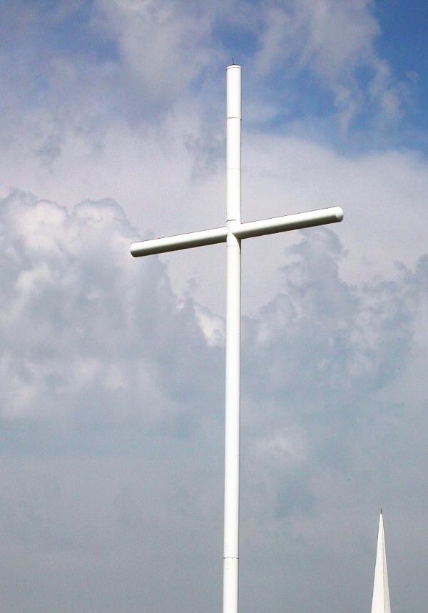
The large cross pictured to the right here doubles as a cell
phone tower and radio broadcast antenna!
Below I have listed the church designations, like C-2 etc., the
approximate distance of the cross from the home church and the
bearing, and the back bearings to and from the crosses and the home
church.
The home church is at the coordinates listed on the top of this
cache page.
Church designation - Distance range – Bearing - Back
bearing.
C-2, less than 0.5 mile, Bearing = 111 deg., Back bearing = 291
deg.
C-3, greater than 1.0 mile but less than 1.5 miles, Bearing=
0.00 deg., Back bearing = 180.00 deg.
C-4, greater than 1.0 mile but less than 1.5 miles, Bearing =
179 deg., Back bearing = 359 deg.
C-5, greater than 1.0 mile but less than 1.5 miles, Bearing =
223 deg., Back bearing = 43 deg.
C-6, greater than 1.5 miles but less than 2.0 miles, Bearing = 6
deg., Back bearing = 186 deg.
C-7, greater than 2.0 miles but less than 2.5 miles, Bearing =
208 deg., Back bearing = 28 deg.
C-8, greater than 2.0 miles but less than 2.5 miles, Bearing =
312 deg., Back bearing = 132 deg.
C-9, greater than 2.0 miles but less than 2.5 miles, Bearing =
313 deg., Back bearing = 133 deg.
C-10, greater than 3.0 miles but less than 3.5 miles, Bearing =
357 deg., Back bearing = 177 deg.
C-11, greater than 3.0 miles but less than 3.5 miles, Bearing =
4 deg., Back bearing = 184 deg.
C-12, greater than 3.5 miles but less than 4.0 miles, Bearing =
305 deg., Back bearing = 125 deg.
C-13, greater than 3.5 miles but less than 4.0 miles, Bearing =
309 deg., Back bearing = 129 deg.
C-14, greater than 3.5 miles but less than 4.0 miles, Bearing =
336 deg., Back bearing = 156 deg.
Below is the math that you will need to use
to calculate the coordinates. If two addresses were 1704 and 305
you would need to add 1700 and 300 together. You can type up all
the numbers as an equation, like this "1704 + 305 =" then copy and
paste them to
this calculator. Once you do that, hit return on your keyboard
to get the sum. You can try using parentheses too to make it all in
one step. A typed / comes up as a divided by
sign.
Equation 1: The sum of the hundred blocks
[including C-1] ÷ 510.73881 = the decimal N
latitude.
Equation 2: The sum of all the hundred
blocks [including C-1] ÷ 234.92049 = the decimal W
longitude.
You can convert the decimal coords to “D
M.mmm” using this
utility.
Check your answers for this
puzzle on
Geochecker.com.