The cache is part of the Snow Mountain Challenge series. The caches in the series are:
Ladybug Creek - GC4N654
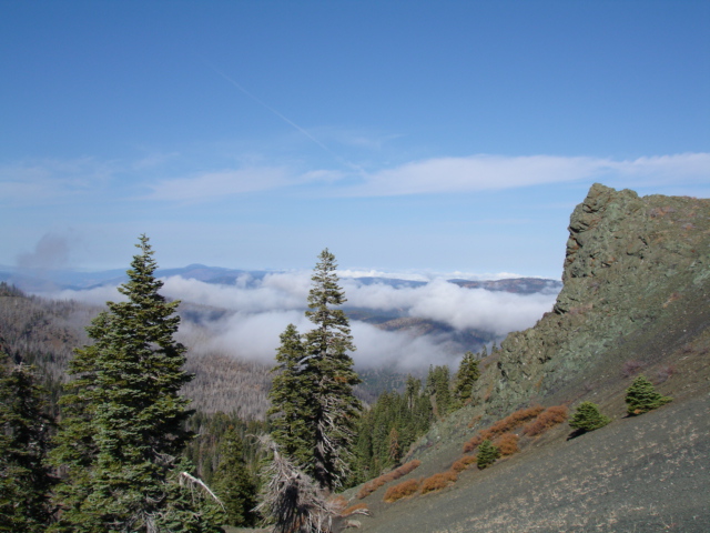
Dragonfly Overlook - GC62EMY
Scorpion's Lair - GCW595
Rock Lobster - GC62FEG
East Peak - GCR55Z
Snow Mountain Challenge - GC61902
Snow Mountain Challenge Final - GC618V3
Inside this container you will find one of the numbers on the combination lock that is on the Snow Mountain Challenge cache.
If you plan on working on the Snow Mountain Challenge you will need to make sure you bring enough water to last the whole trip. If you park at Deafy Glad TH it is approx 17.5 miles RT with 5000 feet of elevation gain. This can be done in one day, but if you choose this option I would recommend getting there very early to make sure you have plenty of time. I did the hike on 08/07/15. We backpacked in and stayed the night about 2/3 of the way up. I did it again on 08/28/15 and this time I drove to Deafy Glade the night before and slept in the car. I started my hike at 6:15 am and made it back at 3:30 pm....but I was not looking for caches or picking locks.
This is not an easy hike, and it should be attempted by experienced hikers in good health.
You may be on the trail over 10 hours so start early and make sure you
have a flashlight with you just in case you have to find your way back in the dark.
Parts of the Deafy Glade Trail are vague so have a good topo map, compass and the knowledge to
use them in case you have a problem with your GPS.
PLEASE READ
Backcountry safety
The best time to hike Snow Mountain is from the middle of June through early October.
In the winter the roads may be closed and avalanche conditions could be a concern. Also
early in the spring the South Fork of Stony Creek can be three or more feet deep which
can make for a tough crossing. If you plan to stay the night at the summit or along the
trail, be sure you have a campfire permit and that there are no fire restrictions in place.
Make some preparations before you take on this momentous hike by checking out
current conditions,
When you visit this cache make sure you sign the summit log at N 39 23.011 W 122 45.123