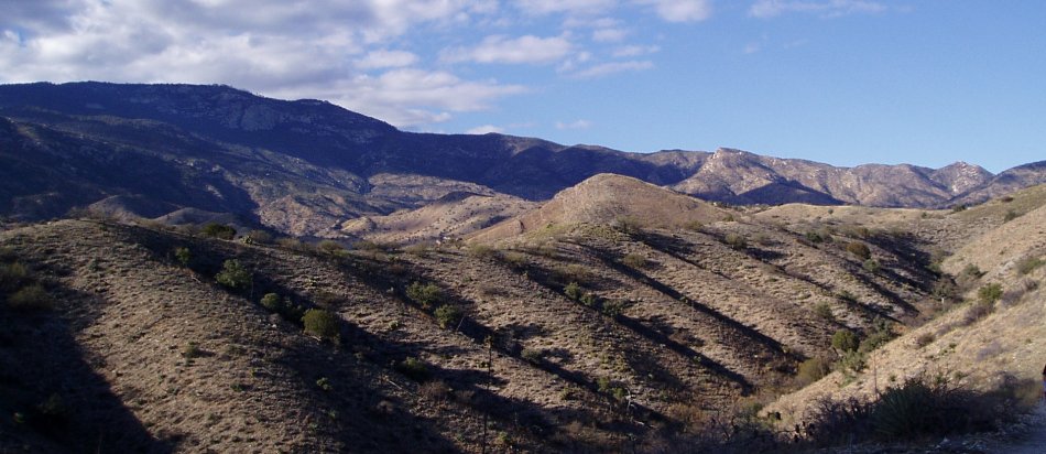
The cache is hidden in small saddle just off of the main trail
under an old juniper tree. The cache placement is 0.25 miles from
the wilderness boundary and 1.5 miles from Saguaro National
Monument. If you continue along Turkey Creek Trail it will lead you
into the heart of the Rincon Mountains.
To get to the cache follow I-10 east to the Mescal exit. Follow
Mescal Road for about 16 miles to Turkey Creek Trailhead. Mescal
Road is paved for about 3 miles. The rest of the drive is unpaved
and should be suitable for a two-wheel drive vehicle, weather
permitting. Park at N32 09.470 W110 28.515. Hike the old jeep trail
for about 1.5 miles until you reach the cache. The cache is the
usual PVC container; it is painted tan and will easily survive the
elements.