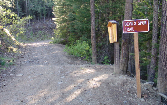
Devils Spur Trail is located in the Mission Ridge area south of Wenatchee. The trail head starts at N47 18.391 W120 23.813 and meanders in a westerly direction toward the Liberty-Beehive road. The cache is located near a gulch with views of Beehive Mountain and South of Wenatchee. Nearby are some interesting sandstone formations. If you continue on, you will eventually intersect with the Liberty-Beehive Road where the The Devils Gulch Trailhead starts, elev. 4800 ft.
The Devils Spur trail is used by hikers, bikers, and x-country skiers. Elevation difference from the parking area to the cache is only 200 ft. in 3/4 of a mile.
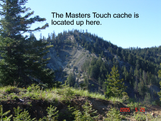
The photos below were taken at the cache site. The left photo is looking west where the cache, The Master's Touch
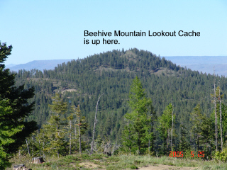
, is located. The right photo is looking North toward Beehive Mountain, the location of another cache Beehive Mountain Lookout
.