Since I am not a really big fan off micros in the woods and want everyone to find this cache there are good hints for all of the stages. This is not meant to be tough just take you somewhere really cool.
Parking coordinates are listed in the additional waypoints section. The best way to go about this cache is to park at the start of the Wintergreen Gorge parking area on Cooper Road. From there the posted coordinates will take you to the first stage which is a waterproof match holder containing only a bag and a piece of paper with coordinates to the final. Please do not open the bag. You can easily read the coordinates through the bags. Stage two is a 30 cal ammo box containing only a log book, pen, and another object with the coordinates to Nature Hike: Gorge. Please do not leave or trade anything at this cache - all of that should be done at Nature Hike: Gorge. There are some trails near the beginning but eventually you will have to use the creek bed. All stages of this multi and Nature Hike: Gorge are all within a hundred feet of the creek so it is easiest to just hike the creek bed the entire way.
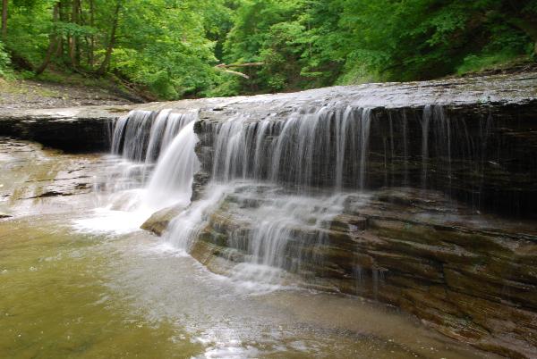
Plan on a large block of time for the completion of these two caches. I will estimate the hike/search time to be about three to four hours if you don't stop to look around and really try to get it done quickly. You should look around and even play a bit. There is a lot of beautiful nature and at least a half dozen places you could stop off for a swim along the way. While placing the cache I ran across deer, birds, fish, snakes, and frogs. It is really worth stopping off along the way to play, take pictures, or just look around.
Terrain is a four in good weather and has the potential to max out in certain weather conditions. I am not sure I would want to do this if there was any chance of significant rainfall. Likewise doing these in winter or spring before all the ice has melted is pure madness. This is a significant hike of about 5 miles round trip for both or over three miles round trip for just this one. I suggest going directly from this cache to the next because you will be almost there already and this is the easiest way. The trail is a stream bed with slippery shale, waterfalls, natural dams, fallen trees, ect that you must cross. You will be wading in the water at times. When I placed it I managed the entire trip without getting in any deeper than my knees.
There are also thorns, poison ivy, stinging nettle, snakes, and possibly ticks in the area.
I tried to make sure that the find would be pretty easy for all the work you must do. I would not want anyone to do all of this for a DNF. Coordinates for each stage are an average of 30 readings. Please rehide all stages well where found matching the hints.
IMPORTANT: You will NEED at least one flashlight per person EVEN if you are attempting this during the day. Do NOT forget the water - this is a five mile hike.
|
|
NWPA Geocachers : Northwestern Pennsylvania's Geocaching Organization : Learn More.
|