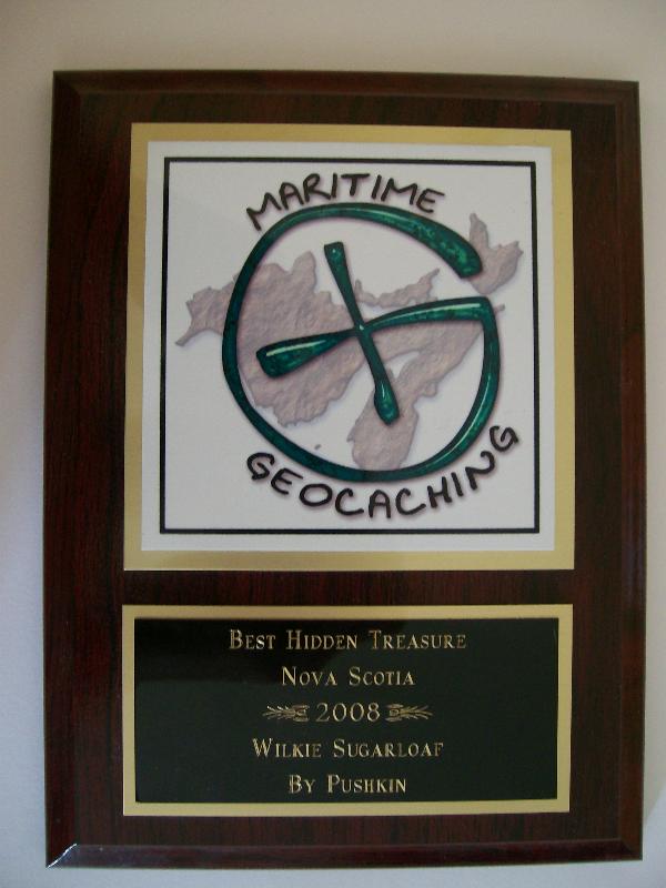
Wilkie Sugarloaf Traditional Cache
-
Difficulty:
-

-
Terrain:
-

Size:  (regular)
Please note Use of geocaching.com services is subject to the terms and conditions
in our disclaimer.
This cache is hidden at the top of Wilkie Sugarloaf, Nova Scotia's highest mountain from base to peak. The trail begins at N46 57.196 W060 27.661 and is marked by orange flagging tape and two yellow stones.
Amazingly, this trail is not described in any hiking trails book or any website until now, despite being one of the top 5 hikes in the province without question. The trail climbs steadily along a ridge and gets steeper the closer you get to the top. The trail is very well marked and easy to follow. Once at the top, the Bay St. Lawrence lookoff is to the right and the Aspy Fault lookoff and cache are to the left. Also near the cache is a jar with a logbook for muggles, signing this is a good idea as well, but be sure not to mistake for the cache. From the Aspy Fault lookoff, you can see the plateau of the national park in the distance as well as the beach at Cabot's Landing, Aspy Harbour and the villages of Cape North and Dingwall in addition to the Aspy Fault itself. Also be sure to visit the Bay St. Lawrence lookoff as well before heading back down. You may be able to see all the way to Newfoundland from this lookoff on very clear days. Good luck!
Additional Hints
(Decrypt)
Nzzb pna ng gur onfr bs n sve gerr.
Treasures
You'll collect a digital Treasure from one of these collections when you find and log this geocache:

Loading Treasures