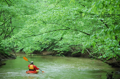
The Manasquan River is a 26.5-mile-long (42.6 km) waterway in central New Jersey. It flows from central Monmouth County, beginning in Freehold Township, to the Atlantic Ocean, where it empties between the communities of Manasquan and Point Pleasant via the Manasquan Inlet. It widens greatly as it nears the ocean, making it ideal for boating, and is a very popular recreational area of the Jersey Shore.
The Manasquan River and Inlet is the northernmost terminus of the Intracoastal Waterway. The river is the center of a large watershed area that incorporates numerous streams as well as a large man-made pumped (i.e no direct flow from the river) reservoir in Howell Township; aptly named the Manasquan Reservoir. It also marks the traditional boundary between North Jersey and South Jersey; it separates Monmouth and Ocean counties and marks the border between rich, fertile soil to the north and the sandier soil of the "Pine Barrens" to the south.
You are looking for a small container with log only, BYOP, parking off of Havens Bridge RD