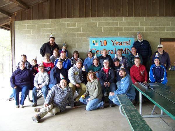
Our OFFICIAL Group Photo!

WHO: EVERYONE!
WHAT: A birthday party!
WHERE: Warner Lake County Park at the GPS Coords
WHEN: 11:30am until we clear out!
WHY: To celebrate the sport we are addicted to!
A History of Geocaching
GPS, or Global Positioning System, was developed by the US
Department of Defense. This satellite navigation system was
intended for military use and therefore the signals were scrambled,
limiting accuracy for civilian use to about 100 meters. On May 1,
2000, President Clinton announced that this scrambling, known as
Selective Availability (SA), would be turned off. Civilians were
then able to enjoy accuracy on the order of 10
meters.
On May 3, 2000, Dave Ulmer
proposed a way to celebrate the demise of SA. He hid a bucket of
trinkets in the woods outside Portland, Oregon and announced its
location in a posting made to the USENET newsgroup
sci.geo.satellite-nav. This announcement is remarkable for laying
out the essence of the hobby that is still in place today. It's all
there. The container. The trinkets. The log book. The rule of take
something, leave something, sign the logbook. Dave Ulmer invented
geocaching in one fell swoop in that newsgroup
posting.
Agenda of Events:
11:30am - Meet and Greet!
12:00pm - Potluck!
01:00pm - Group photo!
01:30pm - Door prizes!
AFTERWARDS GEOCACHING!
Come and have some fun!
Please add this to your watchlist for any changes!
Please
post a note for anything you would be bringing to the
potluck!
Please keep in mind that this is a double event with CITO Stearns
County Trail GC26VFZ