English version below

Las coordenadas iniciales pertenecen al primero de los 4 búnkeres que tendréis que visitar.
Se cree que el primer asentamiento humano, de la población de Pinto, pudo darse en la prehistoria, junto a los arroyos Culebro, de Los Prados y la cañada real Galiana. En esta zona situada al Noreste del termino municipal, existe un yacimiento con una pequeña cavidad excavada en los escarpes de yeso conocida como Cueva Cuniebles. Junto a la cavidad se detectaron restos cerámicos, un alfiler de bronce y un fragmento de hacha. Estas piezas están fechadas en la Edad del Hierro.
Este multicache pretende enseñaros la ubicación de la Cueva Cuniebles y unos búnkeres cercanos, vestigios de la Batalla del Jarama. Las coordenadas iniciales son las del primer bunker.
Para descifrar la ubicación del cache tendréis primero que visitar una área con 4 búnkeres, los cuales defenderían esta situación estratégica en la llamada Batalla del Jarama, de la guerra civil.
Es posible que para hallar las pistas de orientación de los búnkeres necesitéis una brújula, si vuestro GPS no la lleva incorporada.
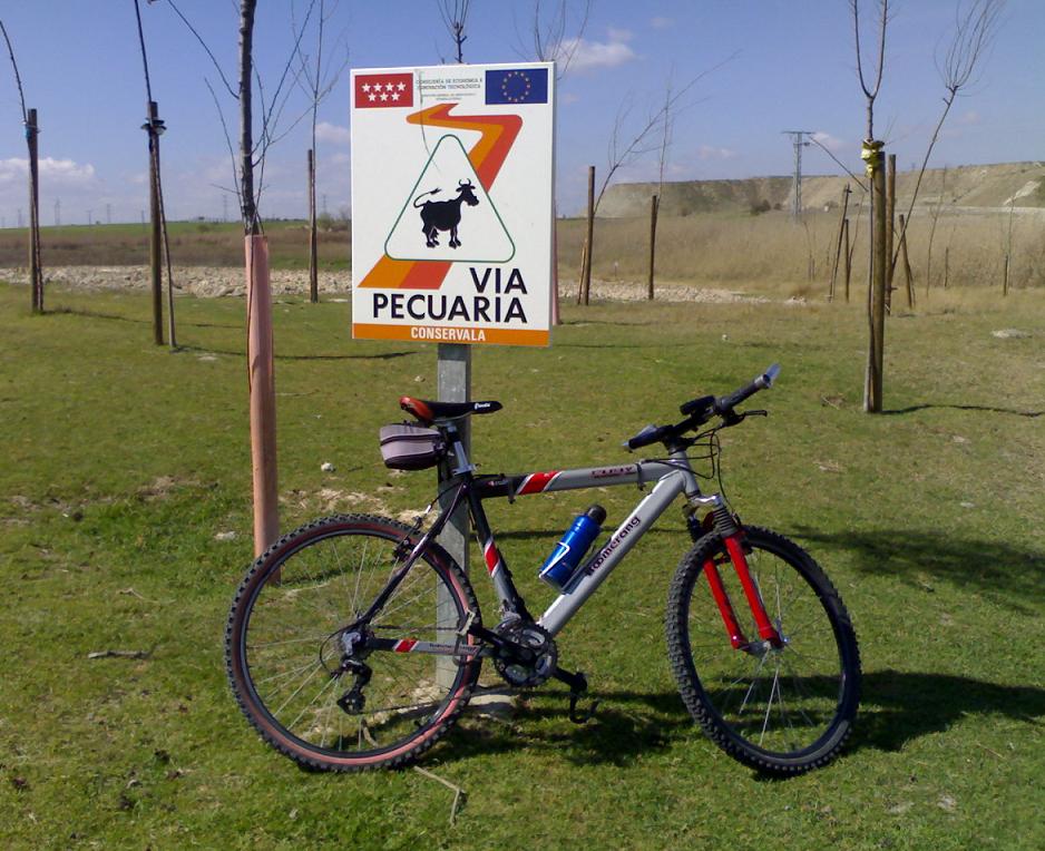
Gran parte del recorrido se realiza por la Cañada Real Galiana.
Parking
Aquí podéis aparcar vuestro coche N40 17.104 W3 40.214
 Situación de los búnkeres
N40 16.673 W3 40.254
N40 16.691 W3 40.132
N40 16.747 W3 40.158
N40 16.805 W3 40.265
Anotad:
Numero de búnkeres orientados al Este = A
Numero de búnkeres orientados al Oeste = B
Numero total de puertas y troneras de todos los búnkeres = C
Localización final
Tener precaución por la zona final donde se encuentra el cache ya que el terreno es un poco accidentado con algún barranco.
N40 16.9ZZ W3 39.9YY
ZZ = [C x {(C/B) + 5}] + A
YY = ZZ + A + B + 1

The initial coords belong to the first of 4 bunkers that will have to visit.
The first settlement of Pinto could occur in prehistory, next to the Culebro and Los Prados streams and the Galiana RoyalCattle-track. In this area located to the Northeast of municipal area, exists a site with a small cavity excavated in plaster escarpments well-known like Cuniebles Cave. Next to the cavity ceramic rest were detected, a bronze pin and a fragment of an axe. These pieces are dated in the Iron Age.
The objective of this multicache is to show the location of Cuniebles Cave and near bunkers vestiges of Jarama Battle. The initial coordinates are the first bunker.
You must to decipher the location of the cache visiting an area with 4 bunkers, which would defend this strategic situation in Jarama Battle, in the spanish civil war.
Perhaps to find the trails of bunkers direction you need a compass, if your GPS doesn't take it built-in.
Most of the trail you walk by Galiana Royal Cattle-track.
Parking
Here you can park your car: N40 17.104 W3 40.214
Bunkers situation
N40 16.673 W3 40.254
N40 16.691 W3 40.132
N40 16.747 W3 40.158
N40 16.805 W3 40.265
You write down:
How many bunkers looks to East? = A
How many bunkers looks to West? = B
The total number of entries and loopholes of all bunkers = C
Final location
Take caution at final location zone where the cache is because the ground is a rough with some precipice.
N40 16.9ZZ W3 39.9YY
ZZ = [C x {(C/B) + 5}] + A
YY = ZZ + A + B + 1
La realización de este cache ha sido posible gracias, principalmente a las informaciones y textos adquiridos en la web "ayto-pinto.es" y en el libro de Gonzalo Arteaga "Pinto, éste es mi pueblo".