May 2014 ~ Cache updates!!
Disregard the magnetic appeal to find the cache. The time has arrived to speak the truth, with some information from the new sign. Those Leprechauns have moved the magnetic pole a few degrees over the years. But the distance will remain the same, as per the #'s from the "Old Sign"
True __ __ . __ __°
• (B-F) (D+A+F) . (C+A) (G * A)
• (970) ABC - DEØØ
• Crown Point Road F39
• Fish Creek # 99G
• Little Beaver Creek #9H9
♥ End of Updates ~ Have fun !!
| • • • - - - • • • | • • • - - - • • • | • • • - - - • • • | • • • - - - • • • | • • • - - - • • • | • • • - - - • • • | • • • - - - • • • |
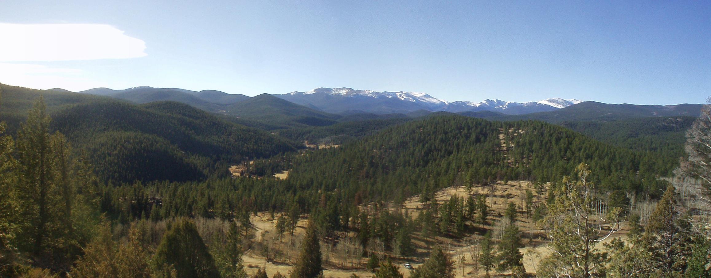
Look up GCQ9MB for a map of the area.
Follow the trail starting at #13, swing to the North at #10, go past C & B & A. And find the Kiosk for the information that is needed to find the Lair:
- May A B - - C D E F
- Walked for 11 hrs. and 1G miles.
- Old Flowers Road for H miles.
- How many were stranded ? I
Bearings and Distance to "The Lair" from the informational kiosk that tells about.
Disaster and Survival
Magnetic Bearing:
- (_B_) (_D_) . (_I_-_C_) ° M
- = __ __ . __ ° M
Distance:
- . (_H_+_A_) (_G_+_C_) miles.
- = . __ __ miles.
Cache Information Udate - November 2009
Due to a damaged sign (possibly bears) most of the original information is lost. And not being sure when the USFS will replace the sign. It will now be necessary to obtain the information from this ~Waymark~!
Crown Point B17 Serial # A B - C D E F G
Distance:. (B + C) (E - C) miles.
Course: (A + C) (E + G)°mag.
......................................... Like Wow Man, this is Cache Country