Garin/Dry Creek park was the first regional park I ventured into back when I started GeoCaching. It is where I first started hiking and climbing hills, and one of the first places I hid a cache. Like many East Bay parks, it doesn't advertise itself very loudly and I believe that many of the people who zoom down Mission Boulevard in their SUVs don't even realize that they could park and walk into the hills that they see from their windows. It's a shame too, because the hills and valleys of the park take you miles from the urban sprawl which is really only minutes away.
The main park entrance is on Garin Ave, and at certain times of the week and the year you have to pay to enter the park. There is another, quieter entrance about 1.5 miles south, at the end of Tamarack Drive. There's no entry kiosk to charge you, and no gate to get locked behind you if you're late getting out of the park. I like trailhead caches, so I'm placing one here - the first trailhead I remember.
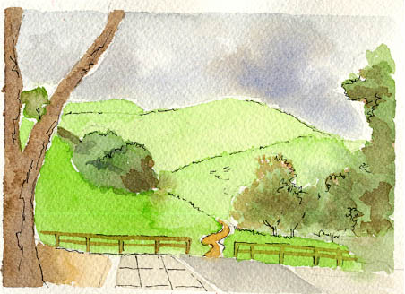
"Entrance to the Trailhead", by GeoWomyn_SF_CA
I would never have known about this entrance were it not for Pepper (who I've never met), who put the trailhead coordinates into the listing for the now defunct SuperGenius #12-You've Got Mail. Thanks gal.
Oh, there's another entrance on the far north end of the park, off Ziele Creek Dr. Find that street on a map and you're all set.

(Click the logo to visit TheGBA)