Mecan River - WARCS Traditional Geocache
-
Difficulty:
-

-
Terrain:
-

Size:  (micro)
Please note Use of geocaching.com services is subject to the terms and conditions
in our disclaimer.
This cache is part of the WARCS (Waushara Area Rivers, Creeks, and Streams) series.
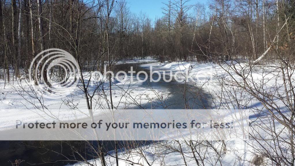
The Mecan River is one of the gems of not only Waushara County, but of the State of Wisconsin. Some of the purest waters around arise from the headwaters which are located in the Mecan Springs State Natural Area located northeast of Coloma. The Mecan River winds for 37.44 miles before dumping its clear waters into the Fox River.
The Mecan River Fishery Area contains some of the finest trout streams in central Wisconsin. Most of the water is Class I brown and rainbow trout streams which receive heavy public fishing use. The waters are generally crystal-clear and support excellent natural trout reproduction. Chaffee and Wedde Creeks and the Mecan River are three of only a few streams in the entire state that have naturally reproducing rainbow trout populations.
All of the properties within the Mecan River Fishery Area are located in southwest Waushara County and northwest Marquette County. The headwaters of all 4 streams originate in Waushara County and flow south or southeast. Wedde Creek is a tributary to Chaffee Creek, while Chaffee and Little Pine Creeks are direct tributaries to the Mecan River. The Mecan River System is a major tributary of the Fox River watershed in the Lake Michigan drainage.
The area around the cache may be fairly wet at times of snow melt or high water conditions. Please dress appropriately for the various hunting seasons in Wisconsin, as this cache is located on public hunting land.
The Geocache Notification Form has been submitted to the Wautoma Service Center of the Wisconsin DNR. Geocaches placed on Wisconsin Department of Natural Resources managed lands require permission by means of a notification form. Please print out a copy of the notification form, fill in all required information, then submit it to the land manager. The DNR Notification form and land manager information can be obtained here.
Additional Hints
(Decrypt)
Cvar