The Holy Lands
The streets in this area have names like:
- Damascus Street
- Jerusalem Street
- Palestine Street
- Carmel Street
Therefore the area has come to be known locally as the Holy Lands.
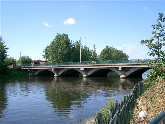
The Ormeau Bridge links the so-called, Lower Ormeau to the rest of the road, crossing the River Lagan. Work began on the bridge in 1815 and was completed by 1818 or 1822. The bridge was demolished as unusable however and was not fully rebuilt until 1863.
The Laganside cycle path
The Laganside cycle path is part of the National Cycle Network (NCN) Route 9 and links the Lagan Towpath to the Belfast Lough Cycle Way (NCN Route 93).
With over 500,000 recorded visits a year, the 12-mile Lagan Towpath connecting Belfast with Sprucefield (Lisburn) qualifies as the most popular public pathway in Northern Ireland.
During 2006/7 works undertaken in partnership with SUSTRANS on the Edenderry, Drumbridge and Lambeg sections of towpath have widened and improved the surface to NCN standards, wherever practicable.
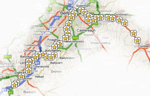
The MournesRambler II Series
There are currently 24 caches in the MournesRambler II series which is designed to lure you away from the bright city lights along the Lagan Towpath:
The recommended mode of transport for this series is a bicycle, but it should also be quite feasible to complete it on foot. Have you found them all? If you have done them all one after the other please let us know (in your log entry) how long it took you so that others will know roughly how long it might take them.
The Holy Lands cache
The cache itself is a nano. Please bring your own pen/pencil to initial the log. It is hidden at the edge of the Laganside cycle path not far from the Ormeau Bridge (in one direction) and a well-equipped children's playground (in the other).
As with most urban caches, this area is frequented by muggles so please use stealth when looking for and re-hiding the cache.