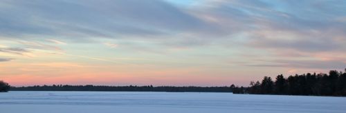
As you travel along North Biron Drive, you are treated to several beautiful views of the 2200-acre Biron Flowage, which is formed on the Wisconsin River by the Biron Dam located downstream near the New Page facility. If you look to the east here, you can see the west end of Pleasure Island in the middle of the flowage.
Enjoy these views now because Highway U (which is what this thoroughfare also is at this point) will soon be rerouted further south away from the shore to allow for recreational development of the waterfront. The plans are to have accessible facilities that will include a new boat landing, fishing piers, and a riverfront walking trail. The corridor for the rerouting project has already been cleared, and this new route for Highway U can be seen on current satellite photos of the area.
This cache most likely will not be here for very long, so come find it now! And come back when the work has been completed to enjoy the new way of viewing the river and the flowage from here. Maybe there will be some new caching opportunities... Only time will tell.