This is the fifth in a series of eight earthcaches being developed at major points of interest in Newberry National Volcanic Monument in cooperation with the staff of the Deschutes National Forest. Lava River Cave is closed to all entry from October 1 to April 30 to protect hibernating bats. For the remainder of the year (May 1 to September 30) the cave is open to the public. The cave entrance is staffed from approximately Memorial Day to Labor Day. No logs for this earthcache will be accepted from October 1 to April 30.
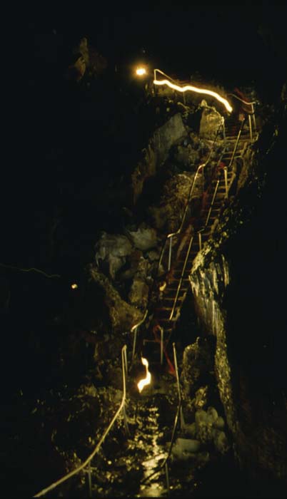
To log this cache you will need to go more than half way through the cave and you will need a tape measure. Please post a photo taken in the cave. There are three interpretive signs in the cave, e-mail me the "sign titles" and "width of the cave" at each of the signs (to the nearest foot).
While doing this earthcache you may also be able to collect the necessary information to claim several waymarks in the area.
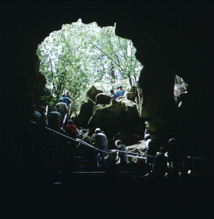 Lava River Cave is an excellent example of a lava tube and is the longest continuous tube in Oregon.
 During long-lived eruptions flowing lava becomes channelized into a few main streams. Overflows of lava from these streams solidify quickly and plaster on to the channel walls, building natural walls that allow the level of the lava to be raised. Lava streams that flow steadily in a confined channel for many hours to days may develop a solid crust or roof and thus change gradually into streams within lava tubes. If molten rock (magma) stops rising to the surface at the source, the still-molten lava moving beneath the crusted-over top of a lava flow can continue to drain downhill and may ultimately leave an open lava tube cave. Because the walls and roofs of such tubes are good thermal insulators, lava flowing through them can remain hot and fluid much longer than surface flows. Tube-fed lava can be transported for great distances from the eruption sites.
Newberry Volcano has been the source of numerous high volume tube-fed lava flows that have flowed northward well beyond Bend. These high volume flows generally come from small spatter/fissure vents. These vents were typically low on the flanks of Newberry. The highest elevation vent was in the area of Mokst Butte but it has been buried by Mokst Butte and its flows. The eruption from this vent occurred about 74,000 years ago and resulted in a flow which nearly reaches Redmond and underlies much of Bend. Lava River Cave was a major tube that carried the flow westward to the Deschutes River.