|
Dieser Cache führt euch auf ein sehr reizvolles Hochplateau. Genießt auf dem 3,5 km langen Rundweg die Ruhe und herrliche Aussicht. Zu Fuß benötigt ihr ca. 2 Stunden. Mit dem Mountainbike und einer gewissen Portion Kondition ist dieser Cache fahrradtauglich, da er größtenteils über Schotterwege führt. Es ist hilfreich einen Taschenrechner im Gepäck zu haben und da es ein Micro ist, muss ein Stift mitgebracht werden. An der oben angegebenen Koordinate befindet sich der Parkplatz Talstation Einhorn II.
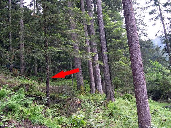
Ihr müsst an jedem Punkt Informationen finden um am Ende damit die Zielkoordinate ausrechnen zu können. Zwischen den Stationen ist es nicht notwendig die Wege zu verlassen.
Station 1:
N 47° 08,769’
E 009° 45,638’
An diesem Punkt findet ihr eine Karte.
a = Nummer Melkbodenlift Berg - Melkbodenlift Tal
b = Nummer Glattjochbahn Berg - Glattjochbahn Tal (rot)
Leider gibt es die Karte nicht mehr, darum hier die Ergebnisse:
a = 10
b = 6
Station 2:
N 47° 08,771’
E 009° 45,425’
Hier steht ein kleines Haus.
c = Hausnummer Zwischenbäch
Station 3:
N 47° 08,864’
E 009° 45,140’
Ihr gelangt an einen Bach. In einen Baum geritzt findet ihr ein Herz mit einer Jahreszahl. (Spoiler)
d = Jahreszahl 1953 / bis wir eine andere lesbare Lösung finden, gibt es diese Station geschenkt
Station 4:
N 47° 08,967’
E 009° 45,224’
Schaut euch an dieser Abzweigung nach einem Wegweiser um.
e = Zeitangabe für den Tschengla-Rundweg in Minuten
Station 5:
N 47° 09,132’
E 009° 45,247’
An diesem Ort steht ein Haus, in dem man im Sommer viel lernen kann.
f = Anzahl der roten Buchstaben im Dachgiebel über dem Balkon
Station 6:
N 47° 09,142’
E 009° 45,096’
Hier können vom Laufen wunde Füße gekühlt werden. Diese Station ist nicht für den Cache nötig! Bevor es zum nächsten Punkt geht, empfehlen wir eine Rast an Station 5. Sofern offen, gibt es dort leckere...! Probiert es selbst!
Station 7:
N 47° 09,269’
E 009° 45,507’
Ihr steht nun mitten in einem magischen Steinkreis.
g = Anzahl der Steine, die in einem Abstand zwischen 20 m und 30 m kreisförmig um den mittleren größten Stein (Menhir) angeordnet sind.
Das Ziel ist in greifbarer Nähe. Ihr könnt euch die Endkoordinate jetzt errechnen.
x = 3 * f - 1
y = [ d * (b – 1) – b * f – e * a – e ] / 1000
m = f / 2 + 1
n = [ ( g + 2 ) * d + 680 + c ] / 1000
Station 8:
N x° y’
E m° n’
Wenn ihr alles richtig gemacht habt, wovon wir ausgehen, müsst ihr jetzt nur noch den Micro finden. HINTerher ist man immer schlauer!
Wenn ihr euch nun noch für die Geschichte der Steinkreise interessiert oder einfach nur lecker essen wollt, können wir das Hotel Dunza (N 47° 08,913’ E 009° 45,621’) wärmstens empfehlen. Schöne Grüße an Uli von den alten Römern!
Um zum Ausgangspunkt zu kommen folgt jetzt den Wegweisern zum Parkplatz Steinkreise.
English translation:
Five-Valley-View
This cache leads you to a very nice place in the mountains. Enjoy the quietness and the beautiful view on this 3.5 km tour. On foot you need circa 2 hours. With a mountain-bike and good condition the cache is possible to do. It is helpful to have a calculator and you need a pencil. The coordinates on top lead to the parking lot (station “Einhorn II”). At every station you have to find information for calculating the last coordinates. Between the stations it is not necessary to leave the streets.
Station 1:
N 47° 08,769’
E 009° 45,638’
At this point you find a map.
a = number of Melkbodenlift Berg - Melkbodenlift Tal
b = number of Glattjochbahn Berg - Glattjochbahn Tal (red)
Because map is lost, here the numbers:
a = 10
b = 6
Station 2:
N 47° 08,771’
E 009° 45,425’
Here stands a little house.
c = house number Zwischenbäch
Station 3:
N 47° 08,864’
E 009° 45,140’
You reach a brook. A heart scratched in a tree shows the date of a year. (Spoiler)
d = date of the year 1953 / we show the date because it is not really possible to read it
Station 4:
N 47° 08,967’
E 009° 45,224’
Look at this junction for a signpost.
e = time you need to go the “Tschengla-Rundweg” in minutes
Station 5:
N 47° 09,132’
E 009° 45,247’
At summer in this house you can learn very much.
f = number of red letters in the gable
Station 6:
N 47° 09,142’
E 009° 45,096’
Here you can cool sore fed. This point is just for fun! You don’t need it for the cache.
Station 7:
N 47° 09,269’
E 009° 45,507’
Now you stand in the middle of a magic stone circle.
g = number of stones in the distance between 20 m and 30 m circular arranged around the biggest stone. (Menhir)
The cache is not far away. Now you can calculate the end coordinates.
x = 3 * f - 1
y = [ d * (b – 1) – b * f – e * a – e ] / 1000
m = f / 2 + 1
n = [ ( g + 2 ) * d + 680 + c ] / 1000
Station 8:
N x° y’
E m° n’
If you did everything right, of course we believe it, you only have to find the micro-cache. Hint helps!
If you are interested in the history of the stone circles or if you want to have a very delicious meal, we recommend “Hotel Dunza” (N 47° 08,913’ E 009° 45,621’). Greetings to “Uli” from the “Römern”.
To get back to your car follow the signposts to "Parkplatz Steinkreise".
|