Carter Creek - WARCS Traditional Geocache
-
Difficulty:
-

-
Terrain:
-

Size:  (micro)
Please note Use of geocaching.com services is subject to the terms and conditions
in our disclaimer.
This cache is part of the WARCS (Waushara Area Rivers, Creeks, and Streams) series.
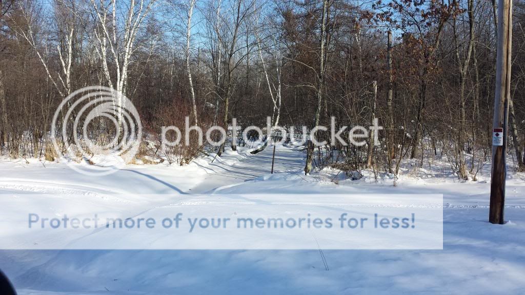
There is not a designated parking area near the cache so use caution when deciding where to park.
Carter Creek meanders 25.2 miles, starting southwest of Hancock and traveling west-southwest into Adams County. The creek is rated as a Class I brown and rainbow trout stream east of County G in Adams County upstream to its headwaters.
Carter Creek has been designated as an Exceptional Resource Waters area. Wisconsin has designated many of the state’s highest quality waters as Outstanding Resource Waters (ORWs) or Exceptional Resource Waters (ERWs). Waters designated as ORW or ERW are surface waters which provide outstanding recreational opportunities, support valuable fisheries and wildlife habitat, have good water quality, and are not significantly impacted by human activities. ORW and ERW status identifies waters that the State of Wisconsin has determined warrant additional protection from the effects of pollution. These designations are intended to meet federal Clean Water Act obligations requiring Wisconsin to adopt an “antidegradation” policy that is designed to prevent any lowering of water quality – especially in those waters having significant ecological or cultural value.
ORWs receive the state’s highest protection standards, with ERWs a close second. ORWs and ERWs share many of the same environmental and ecological characteristics. ORWs typically do not have any point sources discharging pollutants directly to the water (for instance, no industrial sources or municipal sewage treatment plants), though they may receive runoff from nonpoint sources. New discharges may be permitted only if their effluent quality is equal to or better than the background water quality of that waterway at all times—no increases of pollutant levels are allowed.
The area leading into and around the cache may be fairly wet at times of snow melt or high water conditions.
Please dress appropriately for the various hunting seasons in Wisconsin, as this cache is located on public hunting land.
The Geocache Notification Form has been submitted to the Wautoma Service Center of the Wisconsin DNR. Geocaches placed on Wisconsin Department of Natural Resources managed lands require permission by means of a notification form. Please print out a copy of the notification form, fill in all required information, then submit it to the land manager. The DNR Notification form and land manager information can be obtained here.
Additional Hints
(No hints available.)