Please use the suggested parking coordinates or find closer parking at the new bank. You will see a sign for "Public Nature Trail Parking" on the side of the strip mall, or a sign for "Park Parking" by the bank. It is a short walk to the suggested trailhead coordinates, use caution when crossing the street at the crosswalk.
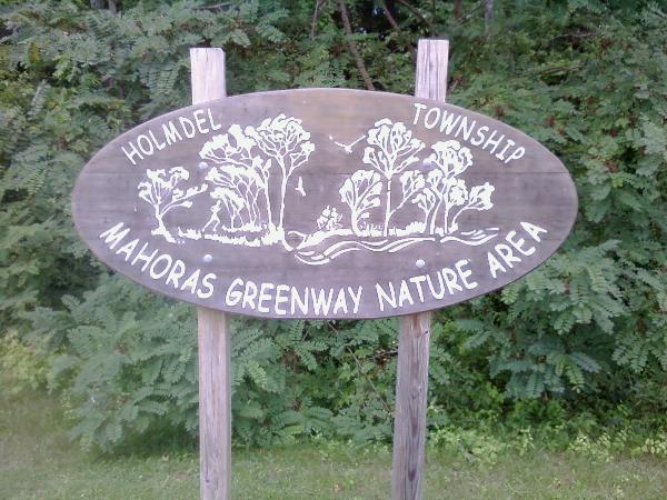
This is a predominantly low lying wooded area in the flood plain and wetlands of the Mahoras Brook, apparently near the site of a former Millpond. Access is granted by the intersection of Commons Way and Laurel Ave.
A trail system exists on the site which is capable of sustaining foot traffic for passive use. Good linkages to adjacent areas do not exist.
The Tract presents a lowland forest in early maturity in the northern section which diminishes to wetland meadow as one moves southward. A variety of indigenous tree, shrub and ground cover species provide a very interesting study substrate of intact succession forest in the best wooded areas. The site unfortunately has been invaded by phragmites in more open meadows and is far less diverse there.

Congratulations to ericles on FTF!