
The GGA celebrates the 2005 International Cache In Trash Out Day with an event in our lovely National Forest. The Lake Russell Area is pretty clean, so the rangers have asked us to focus on another area. The coordinates above are correct and lead you to the Low Gap area near Lake Rabun.
We are going to northeast Georgia. We are going to work on a road that has been trashed in over time. There are some appliances there and plenty of trash for us to pick up. We will begin meeting at 10 AM, but feel free to come up anytime after 10 AM depending on your schedule for the day. Some people will be getting there even earlier as well. We will be working until 2 PM or 3 PM, or until everyone gives out! Feel free to give as much time as you can spare.
We will need some people with pick-up trucks to move the trash to a recycling station near Tallulah Falls (mtn-man has one pick up, for example) and up to a dump near Wiley. We will need to try to keep general trash, plastic and glass separate in case some of these items can be recycled. We will provide plastic bags, but please bring gloves and wear good shoes and such. Bring a cooler of drinks and lunch and/or snacks for yourself as well.
Bring your FRS Radio! Tune to channel 2!
We need all the help we can get and all assistance will be appreciated. We would need a few people to man the road wearing orange vest to slow traffic down in the area, so even if you do not want to get into the woods your help would be needed on the road or in support of the other volunteers as well.
Click to download a printable map. It is landscape format and has the route in red.
Click to download another printable map. It is landscape format and does not have the route highlighted. There are road names added.
Right click and "Save Target As" to download a .loc filewith various locations of turns, a store and the location of the CITO event. It has all of the waypoints that are on the map above.
There will be one large 2005 CITO shirt and one 2003 CITO XL shirt for a give away item.
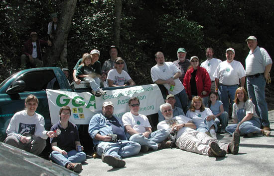
Please come out and support the GGA, www.cacheintrashout.org and the Georgia Forest Service this spring.

This event will take the place of our normal monthly meeting for April. Come on geocachers! Let's show our stuff throughout the CITO events across GA!