Chilliwack: the "Heart of the Valley" is made up of 14 Villages - In this series of 14 caches we will introduce you to each of those Villages. When you have solved the puzzle for all 14 of the caches your smiley faces will produce the shape of a heart in the Eastern portion of Chilliwack. In each of the 14 caches you will find information which you must record in order to find the Final cache in this series, the "Heart of Hearts" cache.
We hope you enjoy your trip around the area and the cache locations we have selected for this series. Have fun and if possible involve the whole family in solving the puzzles and finding the caches, they are meant to be "family friendly".
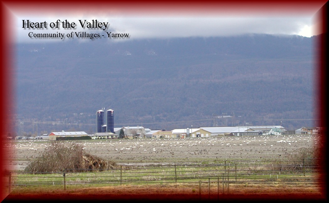
Nestled between the Vedder Canal Dyke and Vedder Mountain, the small community of Yarrow has a rich and diverse history. Yarrow traces its origins to the establishment of a post office on Majuba Hill in the 1890s.The post office on Majuba Hill opened on July 1, 1900 in the home of William and Mary Jane Chadsey, located at the intersection of Majuba Hill and Robinson Roads.
Two events conspired to bring about the rural community we know as Yarrow. In 1910, the British Columbia Electric Railway (BCER) completed construction of a railway line that followed the base of Vedder Mountain, along the shores of Sumas Lake. With the construction of the line the BCER established a station-stop that was named Yarrow.
There are two versions of how Yarrow got its name. The first is that is was named after the Yarrow plant, which has fine fern-like leaves and small white flowers. Sometimes referred to as a weed, it grows profusely in this area. The other version posits that when the railway was being constructed, the builder had trouble with one landowner across whose property the line had to run. When the time came to name the station, it was deemed only fitting that the name be "Yarrow" after the bitterest herb growing in the community" (Coutts, Cecil., Cancelled with Pride).
The second major event was the draining of Sumas Lake, completed in the mid-1920s. This large scale dyking and drainage project resulted in the former foreshore and lake bed areas being divided into agricultural lands. It is within this context that Yarrow grew and developed as a community.
1928 was a watershed for the community. An influx of Mennonite families arrived from the prairies and points beyond. The families, fleeing religious persecution, left Russia after the 1917 revolution. Yarrow offered a perfect opportunity for the new immigrants to establish a community. The newly created farmland on the former Sumas Lake bed was available for settlement. The dream of the new arrivals was to establish a village modelled after the homes that they had left behind.
During these years Mennonite farmers experimented with a variety of crops, including sugar beets, beans, lettuce, asparagus, cabbage and rhubarb. During the 1930s and 1940s many Mennonites relied on extra income provided through work in local hop yards. In 1936, the raspberry growers in the Yarrow area formed the Yarrow Growers Association, with William Schellenberg as the first president. One year later the Co-op began selling consumer goods at wholesale prices and became known as the Yarrow Growers Co-operative Association. The drop in markets and increased competition following the Second World War resulted in the liquidation of the Co-op in the spring of 1949.
The church was always an important part of the social and moral fabric of the community. The first Mennonite Church service took place in April of 1928. The Mennonites continued to meet in private homes until 1930, when the Mennonite Brethren church was built.
The history of schools in Yarrow has its roots in the logging and farming community that developed on Majuba Hill. The first classes for school age children on Majuba Hill were held in the Chadsey family home, and as the community grew they petitioned the Chilliwack School Board to build a proper school. The School Board consented to supply the lumber, if the people of the community would volunteer their labour to build the school. As a result a one-room school was built on the Chadsey property, with fifteen children listed in the earliest register.
During the early years an unofficial local government formed in Yarrow to cope with problems, such as providing roads, water supply, and heading off emergencies such as fire and local flooding. This local body took a more official form in 1944, when the Yarrow Waterworks District was granted a charter and soon became the unofficial governing body of the Yarrow community. Its original mandate, to provide drinking water from a source on Vedder Mountain, was expanded to include irrigation, sidewalk construction, street lights, and a volunteer fire department.
Beginning in 1948 and accelerating in the following years, many Mennonite families began to leave the community. In 1948, hardships caused by crop failures and a poor economic climate meant that for some families there were no reasons to remain in the area. The second generation of the original families were leaving for educational and better work opportunities. Today, Yarrow still has the ambiance of the community established by the first Mennonite builders but the ethnic make-up has changed. There are still Mennonite families living there but the ethnicity of the population is diverse, reflecting new immigrant groups who have arrived in Canada in recent years as well as others who find the rural feel of the community to their liking.
All information was obtained from the Chilliwack Museum and Archives Website- Visit them "here"
In order to find this cache you will have to gather some information from the above text and substitute the information into the co-ordinates:
The cache is at: N49 0A.BCD and W121 EF.GHI
A = Number of letters in the name of the lake that was drained.
B = Number of letters in the name of a nearby mountain.
C = Date in July the Majuba Hill post office opened
D = Third number of year Majuba Hill post office opened.
E = Year the first Mennonite church service took place, minus 1923.
F = Third number of the year that was a "watershed" for community.
G= Third number of the year of Russian Revolution.
H = Number of letters in the name of the Waterworks District.
I = Add the last 2 numbers of the year the Yarrow Growers Co-operative Association was formed.
