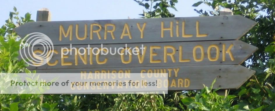
Murray Hill Scenic Overlook EarthCache
Murray Hill Scenic Overlook
-
Difficulty:
-

-
Terrain:
-

Size:  (not chosen)
Please note Use of geocaching.com services is subject to the terms and conditions
in our disclaimer.
Welcome to Murray Hill Scenic
Overlook. This EarthCache will introduce you to one of the most
picturesque locations in the Loess Hills.
The Loess Hills of western Iowa
are a product of the Illinoian and Wisconsinian glacial period when
huge quantities of wind-blown dust called loess (pronounced "luss")
accumulated to depths of over 200 feet. Great masses of ice "milled
the flour" which was to become the parent material of the Hills'
formation. Exposed across a vast river valley, now called the
Missouri, huge quantities of this loess "flour" was picked up and
carried by prevailing westerly winds. Mounds of loess came to rest
in a coastline of hills along the Missouri River extending from
Fremont County in the south to Plymouth County in the north. Most
of the loess deposits occurred between 18,000 and 150,000 years
ago.
The Loess Hills were created
over thousands of years by continuous loess deposition. Since then
running water and erosion have formed the sharp angles and deep
ravines seen today. With little vegetation to hold it, the soil
dissolved like sugar. Spurs, ridges, valleys and ravines formed to
give the Hills its distinct character.
The dominant features of this
landscape are "peak and saddle" topography, "razor ridges" (narrow
ridges, often less than ten feet wide, which fall off at near
ninety-degree angles on either side for 60 feet or more), and
"cat-step" terraces (caused by the constant slumping and vertical
sheering of the loess soil). The soil has a characteristic yellow
hue and is generally broken down into several units based on the
period of deposition (Loveland, Pisgah, Peoria). Loess is known
locally as "sugar clay" because it can be extremely hard when dry,
but when wet, loses all cohesion. The Loess Hills of Iowa are
remarkable for the depth of the drift layer.
To receive credit for this
EarthCache, you will need to complete the following
tasks:
1. From the parking
coordinates, please proceed to coordinates:
N41 49.649
W096 00.108
Using your GPS, please measure the elevation at this
point.
2. Now
proceed to coordinates:
N41 50.212
W096 00.017
Using
you GPS, please measure the elevation at this point.
3. According to the interpretive sign, where else in the
world "can boast of towering dunes of loess soil more than 200 feet
deep"?
(e-mail the elevation difference to me as well
as the answer to question #3.)
and
4. At coordinates:
N41 50.194
W095 59.993
If you would
like, take a picture of yourself/team with your GPS clearly visible
and upload it when you log this EarthCache.
(see example
below)
Additional Hints
(No hints available.)