
“Here on the outskirts of
Wilkes-Barre, Wheelbarrow Run drops through a series of cauldrons,
smooth basins hollowed out of the bedrock, shadowed by hemlock and
mountain laurel. The largest pool, at the top of the falls, is
about 30 feet across. The Tubs were formed by torrents of water
released as the last glacier melted over a period of thousands of
years. In the warm summers, great cascades of meltwater, bearing
tons of gravel, sand, and boulders, spilled over the edge of the
ice sheet or down through a crevasse within the glacier. Finding
its way to the bedrock, the deluge of water swirled the abrasive
material it carried around and around, hollowing out the bedrock
into a series of potholes. Follow the rough path which leads
upstream along Wheelbarrow Run. In one of the upper basins there is
still a large boulder with which the water worked the stone. When
the ice sheet finally withdrew to the north, the volume of water
decreased. The shape of the potholes has remained essentially
unchanged for thousands of years.”
—The Audubon Society Field
Guide to the Natural Places of the Mid-Atlantic States, Inland
(1984)
Additional info:
The Nature Conservancy
Seven Tubs Nature Area is a small but
geologically fascinating County Park that can be crowded during
warm weather. Distance to the cache site is roughly 1 mile. Allow
plenty of time for the hunt as well as to explore the Park. I
recommend spending an entire morning, afternoon, or early evening
here—at least 2 to 3 hours. It's a great place for kids, too.
Bring water and trail snacks, and carefully survey the myriad
miniature waterfalls, the riparian hemlock groves, the wildlife,
and the sights, sounds and smells. Park your vehicle at N41°
14.136' W075° 48.625'. During the Summer season the gate to the
parking areas is open from 8:00am to 8:00pm.
This is now an “offset type”
cache hunt where the posted coordinates lead to an intermediate
location containing an encrypted vector to the main cache.
(04/30/02)
As of 11/24/10 stage one is no longer encrypted. It is also not to
be removed from the hiding spot. Just obtain the coordinates and
put them in your GPS.
Finding the cache site should be fairly
easy. However, in order to retrieve the special offset vector (and
return it to its hiding place later) you will need to perform a
physical feat of strength, agility and bravery. I deem this task to
be well within the abilities of an average, able-bodied adult, a
teenager, or an older child with adult assistance. Specialized gear
of any sort is not needed. Some people won't find this daunting in
the least; others may choose not to even attempt it. So, be
forewarned that although you find the spot, you may not be able to
access the first part and, therefore, you may want to delay a long
trip here until you've had an opportunity to review the cache logs
of other Geocachers. (No spoilers in the logs, please!)
The trails are well-established and are
moderately rocky and rooted, but are not strenuous. Some sections
may be mucky after it rains. Sturdy footwear for hiking is highly
recommended.
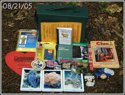
The cache consists of a clear 10-cup Rubbermaid-style container
approximately 10½" x 6½" x 2½" (upgraded to .30 cal. ammo box
08/31/04). Take something from the container and leave an
appropriate item in its place. Please be considerate. As always,
register your visit in the logbook, as well as on the Geocaching
website (no spoilers in the logs, please). You must return all containers to their hiding places
exactly as you found them. Thank you.
Cautionary Note — Both stages are
located a very short distance from a main trail that is very busy
during the Summer and Fall. Please use discretion and stealth when
examining the cache parts to avoid attracting undue attention and
potentially malicious curiosity. Kindly pack out any trash, and
most of all ... please be considerate!
Winter Cachers: Please try to erase,
camouflage or otherwise confuse your tracks in the snow in order to
maintain some level of difficulty for future Geocachers. Park at
the main gate: N41° 14.194' W075° 48.237' and add 3/8-mile each
way.
Good luck and good hunting!!!
~Rich in NEPA~
