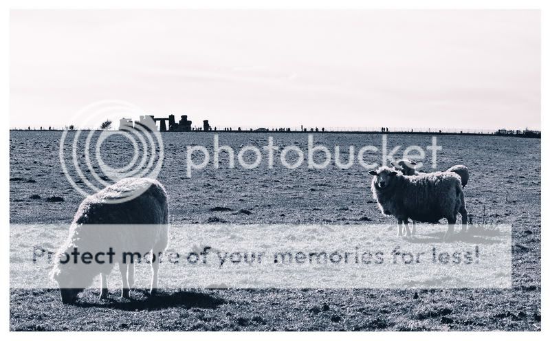
Stonehenge is a prehistoric monument located in the English county
of Wiltshire, about 2 miles west of Amesbury and 8 miles north of
Salisbury. One of the most famous sites in the world, Stonehenge is
composed of earthworks surrounding a circular setting of large
standing stones. It is at the centre of the most dense complex of
Neolithic and Bronze Age monuments in England, including several
hundred burial mounds.
|
Stonehenge has long been regarded as a mystery in early human
culture and technology. Although the monument has been studied
extensively by archaeologists, many questions still remain on who
built Stonehenge and for what reason. Geologists have concluded
that the rocks at Stonehenge did not come from the local area,
adding questions about how the rocks were transported to their
current location in the Salisbury Plain so that the monument could
be built. |
 |
 |
Salisbury Plain itself is underlain with a soft chalk formation
that was deposited during the Cretaceous period. The stones that
make up the monument are of two rock types: sedimentary and
igneous. The sedimentary rock is called sarsen sandstone. This
sandstone was deposited over much of southern England at the
beginning of the Tertiary period about 60 million years ago. These
are the larger stones that make up the outer circle of the monument
and rock beams across the top of the standing stones. This
sandstone is not native to Salisbury Plain and petrological
analysis has suggested its source as being an outcrop located at
Marlborough Downs 30 kilometres away.
The smaller stones located within the monument are an igneous rock
called bluestone. This rock is also not native to Salisbury Plain
and must have been transported. The chemical composition of the
bluestone - named so because they have a blue-grey colour when wet
- suggests a combination of intrusive and extrusive rock formations
that make up this stone. The intrusive rock is gabbro, which is the
same composition as its extrusive counterpart, basalt lava rock.
The rock is also rhyolite and other types of pyroclastic rock. The
bluestones are arranged in a circle inside the larger sarsen
circle. Geologists have used geochmical analysis to match the
bluestones to an outcrop located more than 200 km away at Preseli
Hills in western Wales.
These bluestones hold another clue - although geologists have
confirmed that they did not form in or near the Salisbury Plain,
archaeologists have come across fragments of bluestones in the
Salisbury Plain that were in place long before Stonehenge was
built. This evidence supports the theory that the blue stones were
not transported to the Salisbury Plains by humans, but must have
been transported by some other force.
|
|
|
There are two theories
that can explain how these sedimentary and igenious rocks came to
be at Salisbury Plain. One theory, favoured by archaeologists, is
that the stones were transported there by the monument's makers.
However, this theory does not explain how the bluestones came to
Salisbury Plain since it has been established that they were
brought there before any development of the monument started. The
second theory is that glaciers transported the stones to Salisbury
Plain.
In 1971, a geologist published an
article in Nature suggesting that the bluestones are actually
glacial deposits - boulders that get transported by glacial
movement. Moreover, subsequent geochemical studies have established
that the bluestones did not just come from one quarry, but multiple
quarries throughout Preselli Hills, some as much as 13 kilometers
apart.Geologists conclude that these bluestones
must have already been conveniently close to the monument's site,
transported there by glaciers.
To claim this earthcache I need you to email me
through my profile the answers to these questions
-
1.
identify the geologist who wrote the 1971 article, and the
particular name of the deposits.
2.
Estimate the weight of the visible portion of the closest stone to
the co-ordinates, assuming sarcen stone weighs "154 lbs per cubic
foot". Stones
of Stonehenge By E. Herbert Stone
3. Walk
north east along The Avenue away from the co-ordinates, and email
me the co-ordinates you are at when the stones are no longer
visible to you.
Although Stonehenge is
in the stewardship of English Heritage, there is no need to enter
the fenced compound (and pay the entrance fee) to complete this
earthcache. Cache location has been approved by representatives of
Wiltshire County Council.
I WILL be checking answers. If you don't want to take the effort to
do the cache, or don't have the time because you're on a coach trip
- don't expect to be given a smiley just for sending some Googled,
but incorrect, answers. And don't complain if your logs are deleted
and the reasons given on this page!
And if English isn't your first language, please note that The
Avenue is not the road....