[CZ]
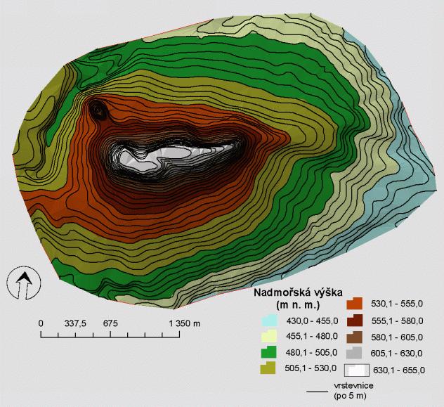
Prírodní rezervace Kozelka rozloha
33ha
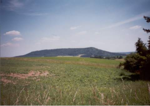
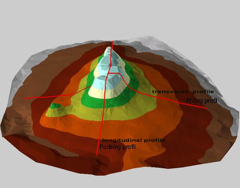
Zalesnená hora vystupuje 100 - 150m nad
okolni krajinu Manetínské kotliny a predstavuje
zbytek mladotretihorního trachybazaltoveho
lávového príkrovu. Vrcholová
plošina je zretelne poznamenaná procesy
pleistocenního (starší ctvrtohory)
periglaciálního (mrazového)
zvetrávání.Stolová hora,
též tabulová hora, je pojem z geologieci
geomorfologie , kterým se oznacuje osamocená
vyvýšenina, která typicky vystupuje
strmými svahy nad okolní krajinu. Vrchol hory
tvorí ploché temeno, které je ruzného
tvaru a velikosti. Svými rozmery jsou stolové hory
prechodem mezi svedeckými vrchya tabulemi. Tento
zajímavý geomorfologickýtvar vzniká
erozne denudacnícinností exogenních sil (vody,
vetru, mrazu) pusobících na tabule a plošiny
s horizontálneci subhorizontálne
uloženými sedimenty. Nejcastejší
výskyt stolových hor je vázán na
aridnía sopecnéoblasti, kde po zvetrání
vrcholu hory vznikne plošina odolnejšího
ztuhlého magmatu. Díky príkrým svahum,
které oddelují ploché temeno od okolní
krajiny, je pomerne casté, že se na temeni hory
nachází uzavrený
ekosystéms odlišnou flórou a
faunou
[EN]
Reservation mesa Kozelka stretch33ha
Kozelka mountain rises in range from 100 to 150 metre above
surrounding landscape of Manetin’s fold. This mountain was
formed in young tertiary which we can know thanks to the occurrence
of rest of tertiary’s trachyte extrusive sheet. Kozelka was
created by chemical and mechanical erosion. In the first phase
fantastic rocky forms were created in bare parts of joint extrusive
sheet on the top of mountain. In the second phase depression of
short canyon rose and rock pillars and towers were created.In the
third phase formations of rock stone broke up and dumped and
currently borders of mountain’s foot, slopes and cliffs were
shaped. During the process of mountain’s shaping very
important erosial factor was water. Except of surface’s
erosion, water influenced mountain’s underground. Nowadays it
means Kozelka is very rich in subterranean
waters.
[CZ]
Pro zalogování cache
musite splnit tyto podminky:
Pripojte k logu fotografii Vas s GPS
z vrcholu Kozelky u cedule
Kolik milionu let trvaly
Ctvrtohory?
[EN]
You must fulfill the requirements for
log this cache:
Insert your photo with GPS picture to
log from on the top of the mountain
How be of long duration antropozoikum alias kvartér?