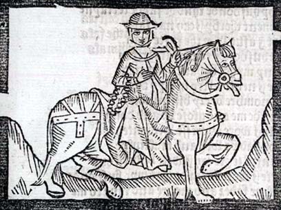
A route that follows
ancient trackways along the chalk ridges and wooded downland of
Surrey and Kent through Areas of Outstanding Natural Beauty,
grazing the southern edge of greater London and ending at the
celebrated White Cliffs, with an optional loop via Canterbury. It
was opened as a National Trail in 1978. For much of its length the
Way parallels the old route known as the Pilgrim's Way between
Winchester and Canterbury. Much of the traditional route of the
Pilgrim's Way is now part of the modern road network and walkers
wishing to follow it are advised to use the North Downs Way as an
alternative.
In order to find the
cache you'll need to decode the following.....:
N 51 xx.xxx E 000 xx.xxx
Plegmund
Theodore
Nothelm
Honorius
Oda
Justus
Nothelm
Nothelm
You can assume 10s are 0s.
A green decon tub that
contained, when placed, the following:
log book
pen
Trolley token
Metal whistle
Lanyard
FTF badge
Have fun and please be
careful on the path if it is wet!
You can check your answers for this puzzle on
Geochecker.com.