Josiah Bartlett was the sixth Governor of New Hampshire and a signatory of the Declaration of Independence (while Josiah Edward "Jed" Bartlet is a fictional president in the television serial drama 'The West Wing' potrayed by Martin Sheen).
Both stages of this multistage cache are near the Bartlett Mt. trail. What? Didn't know there was a Bartlett Mt. trail? It can be found on USGS maps from the first half of last century -- and amazingly, there currently is a good trail that pretty much follows the original path (we thank the trail maintainer(s)!).
You can get to the Bartlett Mt. trail from the Mt. Surprise trail, which starts behind a gate with a sign inscribed "Hikers Welcome" (N 44 4.911' W 71 7.292'). Please be considerate of local home owners when parking. Proceed on the trail past Mt. Surprise to a trail junction at N 44 5.148' W 71 7.451' Turn right.
An alternative approach is from the "Bartlett Mtn. Hiking Trail" sign at N 44 5.149' W 71 7.559' but parking right there is not allowed, so you need to leave your car a bit lower. Go left at the trail junction at N 44 5.148' W 71 7.451'

In either case, go right at a fork at N 44 5.145' W 71 7.402', down to a small wooden bridge over a brook. Should you get off trail, bushwack a bit uphill in open forest to the Merriman State Forest sign at N 44 5.206' W 71 7.335' After that, just follow the bright yellow blazes on the trees.

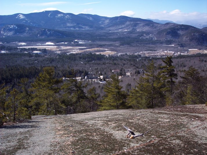
After ascending a bit, the trail crosses some ledges with terrific views of Mt. Cranmore, White Horse Ledge, Cathedral Ledge, The Moats, Humphrey's Ledge, and Intervale below.

Note that you do not have go up or down any steep rock cliffs. If your GPSr suggests something like that to you, find a way to go around the edge of whatever is blocking your way.
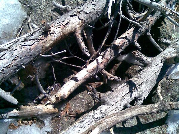
Having said that, please be careful around "Samuelson's hole" N 44 5.286' 71 7.082' --- a deep cylindrical hole made by someone searching for minerals in a granite slab. The top of this hole is usually covered with some dead tree trunks to prevent people from accidentally sliding into it.
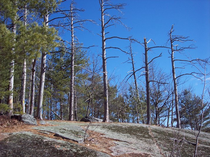
By the way, since the second stage is roughly 500' back down the trail, you may consider doing that on the way down from Bartlett Mt. --- that is assuming you wish to continue up the rest of the way! Then again you may not want to bother going all the way, since about the best views are to be had right from these ledges near Josiah's Rock.
Congratulations wemedge for FTF (and for putting stage I back where it belongs, and for better coordinates for Samuelson's hole)!