Prior to the 1950s, this property was used as a landfill because
it was swampy and unusable. The landfill established some usable
land, and in 1956, the Park District purchased 33 acres on the east
side of Salt Creek. Development of Eldridge Park began in 1960. In
1962, additional land on the west side of Salt Creek was purchased.
Several lots were purchased from the City in 1961, 1962, and 1970.
In 1970, the Eldridge Park lagoon was completed. Construction was
completed on the recreation building in 1975. A new bridge was
built in 1983 across Salt Creek, connecting the east and west sides
of the park. In response to an engineering report regarding park
settling problems (due to the previous landfill), the Board signed
an agreement for fill and topsoil to be added to level a large area
of the park in 1986.
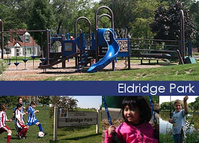
The park was named for Edward Eldridge, an early homesteader and
first supervisor of York Township, who came to the area in 1835 and
planted his fields in what is now Eldridge Park. The name was
chosen during a 'Name the Park' contest in 1957. Current size:
42.79 acres.