The Gorge EarthCache
-
Difficulty:
-

-
Terrain:
-

Size:  (other)
Please note Use of geocaching.com services is subject to the terms and conditions
in our disclaimer.
This Earthcache adopted from W8TTS on March 25, 2018.
The Cuyahoga River as it flowed through this area cut through many layers of rock creaking the Gorge. You will be following part of the Gorge Trail on your quest for the answers to earn this Earthcache.
Use caution on this trail during the Winter. There are steps involved.
The Metro Parks uses a scale of 1 to 3 for their trails, this trail is rated a 3.
From Ohio.com:
"The Gorge Dam on the Cuyahoga River between Akron and Cuyahoga Falls could be coming down in 2019. That surprising news came from Bill Zawiski of the Ohio Environmental Protection Agency, who announced Tuesday that the federal government has agreed to provide 65 percent of the $70 million cost to remove the 57-foot-high dam and deal with sediments behind it.
"The project, including sediment removal, will be funded by $45.5 million in federal Great Lakes cleanup funds, he said at a meeting of the Summit Metro Parks commissioners.
"The federal EPA recently gave its blessing to proceed at a meeting of parties involved in cleaning up 43 contaminated spots on the Great Lakes. The Cuyahoga River from Akron to Cleveland is on that national priority list."
From the Community Archaeology Program:
Big Falls on the Cuyahoga
"An area of natural beauty in the Gorge, the Big Falls of the Cuyahoga River has the largest waterfalls in that reach of the Cuyahoga River. Early texts describe the beauty of the falls and early photographs depict that it was a popular place to visit and attracted many vacationers.
"Called Coppocaw by Native Americans, the Big Falls are partly under the damn constructed by the Northen Ohio Traction & Light company in 1911 to supply a water pond for their plant on Front Street and the Hydroelectric Plant further downstream. After the damn was constructed, the falls remained an attraction for park visitors, because the dam provided a larger, artificial waterfall."
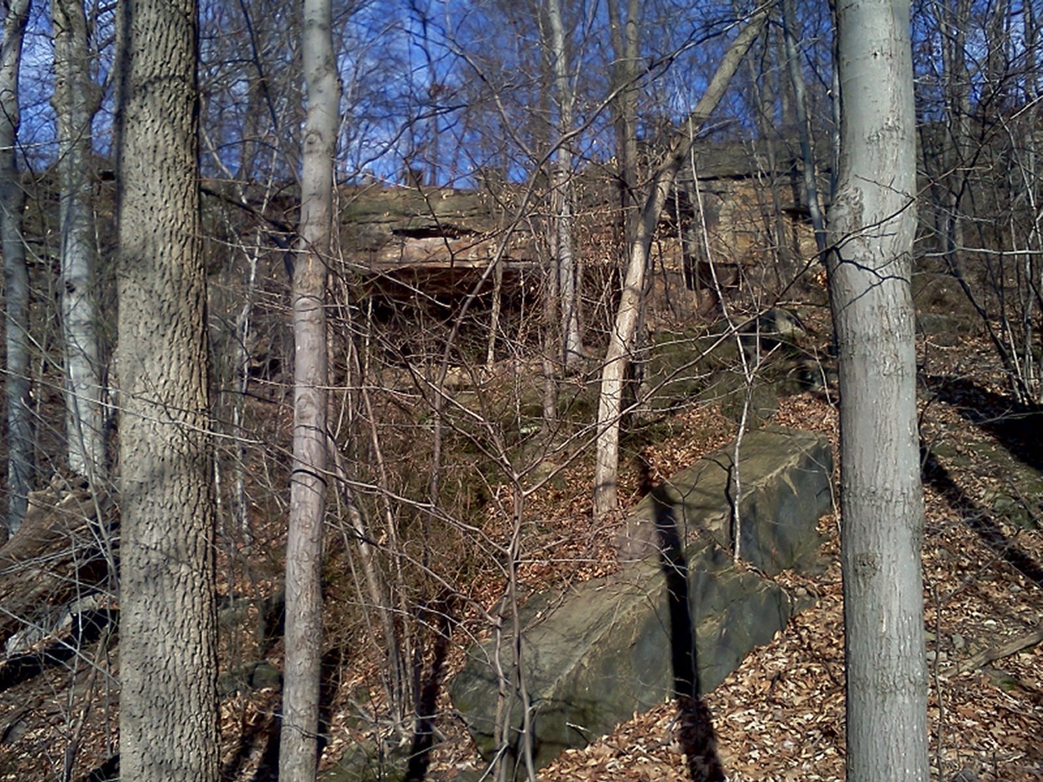
There are various types of rock strata in the Gorge. From Sharon Conglomerate to Sandstone to Shale.
- Sharon Conglomerate, is formed from small quartz pebbles rubbed round by continual tumbling in the fast moving primeval streams of the Pennsylvanian period, 320 million years ago. This pebbly sandstone resisted weathering by wind, water and the cycles of freezing and thawing, but the less resistant rock layers beneath eroded away, crumbling the base of support for the massive Sharon Conglomerate layer. It fractured in huge chunks, forming cliffs and ledges on the hillside and leaving huge jumbled slump blocks at the base of the cliffs.
- Sandstone (sometimes known as arenite) is a clastic sedimentary rock composed mainly of sand-sized minerals or rock grains. Most sandstone is composed of quartz and/or feldspar because these are the most common minerals in the Earth's crust. Like sand, sandstone may be any color, but the most common colors are tan, brown, yellow, red, gray, pink, white and black. Since sandstone beds often form highly visible cliffs and other topographic features, certain colors of sandstone have been strongly identified with certain regions. Rock formations that are primarily composed of sandstone usually allow percolation of water and other fluids and are porous enough to store large quantities, making them valuable aquifers and petroleum reservoirs. Fine-grained aquifers, such as sandstones, are more apt to filter out pollutants from the surface than are rocks with cracks and crevices, such as limestone or other rocks fractured by seismic activity.
- Shale is a fine-grained, clastic sedimentary rock composed of mud that is a mix of flakes of clay minerals and tiny fragments (silt-sized particles) of other minerals, especially quartz and calcite. The ratio of clay to other minerals is variable. Shale is characterized by breaks along thin laminae or parallel layering or bedding less than one centimeter in thickness, called fissility. Mudstones, on the other hand, are similar in composition but do not show the fissility.
----
To log this EarthCache: Visit the Gorge Metro Park, hike part (or all) of the Gorge Trail, and email me the answers to the following questions within 5 days of your log. Per EarthCache policy, failure to submit answers will result in log deletion. I will not contact you, that is your responsibility. Do not post your answers in your log. You MUST also post a picture as proof of your visit. Can be a selfie at a favorite stop along the trail OR if you prefer not to do a selfie, post a picture of a personal item such as your pen, car keys, your hand? Something that provides picture proof that you were there. Picture is not optional, per Geocaching article 4.3 Earthcache logging tasks. Have fun with it.
You can make this a short hike by hiking the trail from the posted coordinates (which is Sign 1) or a longer hike (1.8 miles) by starting your hike by the restrooms. The longer hike will take you to Sign 2 first. Which isn't a problem. Remember this trail is rated a 3, and is marked by a white circle blaze.
The questions are:
- 1. At Sign 1 are listed the types of rock making up the Gorge. What are they?
- 2. Also, at Sign 1 the rock strata at this level is marked with a red arrow. What type of strata is it?
- 3. At Sign 2 the rock strata at this level is marked with a red arrow. What type of strata is it?
- 4. (Optional) Take a picture of you or your group and an interesting rock formation. Please don't include any of the signs in the picture.
----
Additional Hints
(No hints available.)