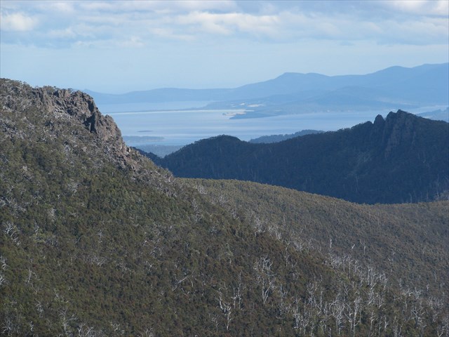
The Lectern is located in The Wellington Park which offers so many great natural features and opportunities for rewarding day walks in close proximity to Hobart. The easiest way to approach this cache/walk is from fire trail(Big Bend Trail) starting at the Big Bend on Mount Wellington. Track junctions(follow the signs saying Collins Bonnet) are clearly marked and the track is in very good condition all the way to the summit of Mount Connection and an excellent cache by DDT's (Wellington Peaks A - Get Connected) which brought me to the area.
Getting to The Lectern from the summit of Mount Connection is pretty easy, but no clear track exists. A few cairns can be seen here and there but I had trouble following them and found it easier to make my own way. Walking seems slightly easier on the western side of the ridge. BEWARE of the old 4x4 track you might cross heading to The Lectern, don't walk on it or the moss. I stepped on one bit of nice green moss and found myself almost knee deep in mud. The walk(Big Bend to The Lectern) is about 10.5km and should probably only take about 3 1/2 to 4 hours return unless you go off track like I did on the way there and walk the ridge line to Mount Connection investigating Pulpit Rock(150metres east of summit) and encountering a couple of snakes on the way. I turned at two prominent cairns with faint red paint on them, and walked along the ridge line sometimes following a few cairns but quite often making my own way, this takes heaps longer than following the excellent main track, but still an enjoyable detour checking out some of the other rocky outcrops on the way to the summit.

 Please remember this walk is at roughly 1100meters in altitude and weather conditions can change rapidly, please take care getting this cache and prepare well. Cache contains a log and pencil.
I recommend the Wellington Park Recreational Map available from Service Tasmania as it shows most of the current walking tracks on the mountain. Including the track to Mount Connection.
Note: The hint is a massive gave away, don't read unless you want to know exactly where the cache is.