The purpose of this Earthcache is to provide you with an opportunity to increase your knowledge about drumlins and to develop a deeper appreciation and respect for the world we live in. The environmental lessons and related questions are brief, quick to answer and easy to remember for a lifetime! As with all Earthcaches, please be respectful of the land.
CONGRATS ON BEING THE FTF DR. EVIL!
Definitions for this earthcache:
Drumlin: an oval or elongated hill formed as moving glaciers deposited till of clay, sand, silt and gravel on outcroppings of bedrock or other obstacles in their paths. Drumlins are usually found in lowland regions.


Caption: One side of the drumlin is typically steeper and higher (called the ‘blunt end’) while the other tapers off in the direction of the ice movement. This indicates in which direction the glacier was moving at the time the drumlin was formed with the tapered end closest to the glacier.
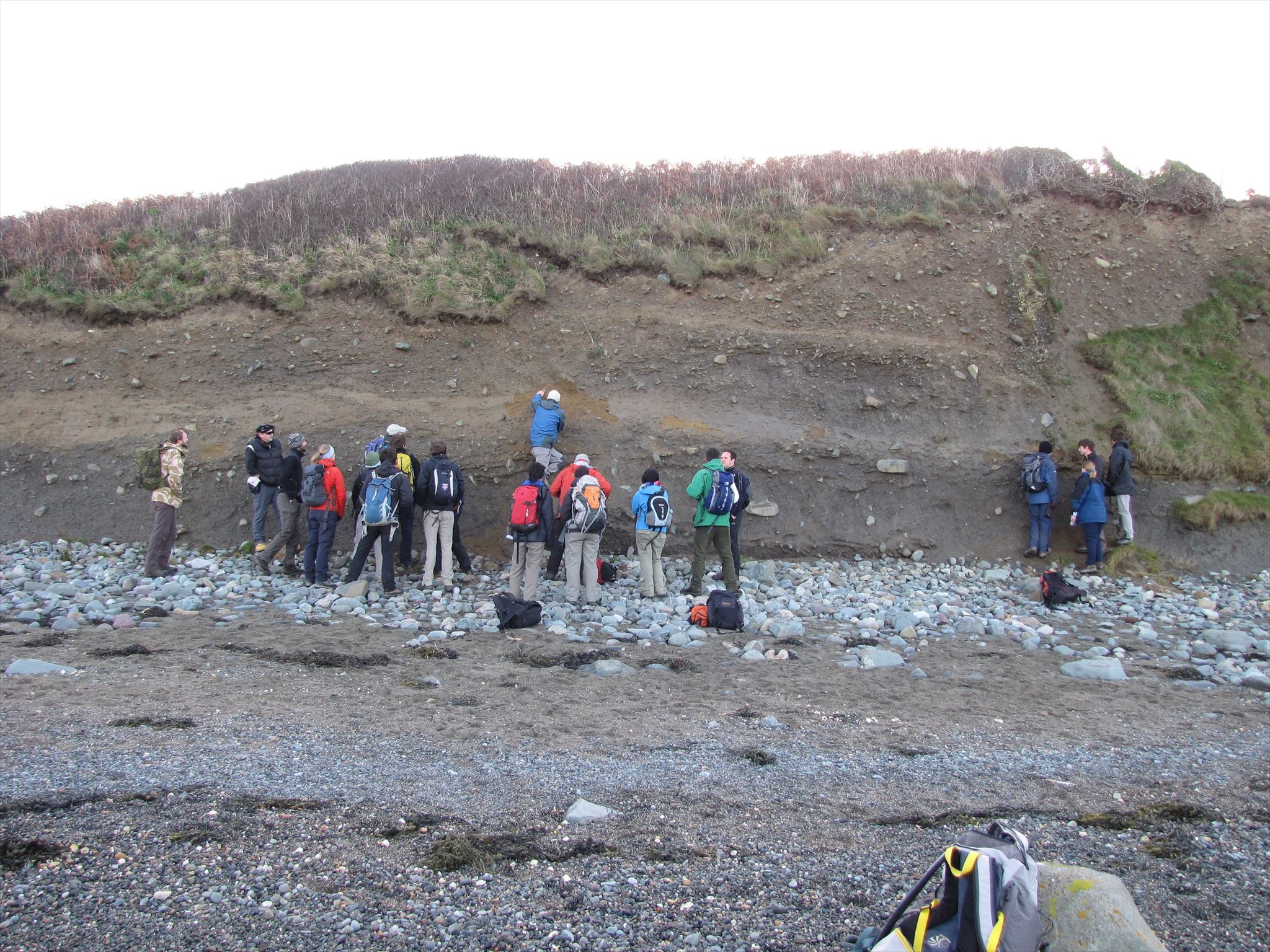
Caption: Most drumlins are composed of till, but they may vary greatly in their composition. Some contain significant amounts of gravels, whereas others are made up of rock underlying the surface till (rock drumlins).
Drumlins can vary in size, with lengths from a half mile to a little over a mile, heights between 50 to 100 feet and widths from 1300 to 2000 feet. They can be found in clusters (called “a drumlin swarm” or “egg basket”) numbering in the thousands. Many have small lakes and/or swamps between them because they disrupt water drainage.

An egg basket
Drumlins are common in central New York (between the south shore of Lake Ontario and Cayuga Lake, the lower Connecticut River valley, eastern Massachusetts, the Monadnock Region of New Hampshire, Michigan (central and southern Lower Peninsula), Minnesota, the Puget Sound region of Washington state and Wisconsin. Swarms of thousands of drumlins are found in Southern Ontario, Central-Eastern Ontario, the Thelon Plain of the Northwest Territories, Alberta and Nova Scotia. The majority of those observed in North America were formed during the Wisconsin glaciation.
The Boston Basin is a topographic lowland bordering Boston Bay. The basin slopes below sea level as it extends into Massachusetts Bay. Drumlins are common in the region, rising 100 -200 feet above the basin. The famous landmark, Charlestown's Bunker Hill, is a drumlin. Another glacially formed landmark, the Boston Harbor Islands, are a group of islands in Boston Harbor formed of moraines and drumlins
These island-drumlins are protected by the National Park Service because they represent a geological rarity. The 30 drumlins occur in a swarm, or cluster, and is the only cluster in the United States to intersect a marine coastline. The drumlim swarm appears as rounded isolated islands in the harbor. They are asymmetrical and many of them do not have an elongated shape.

A view of the drumlins in Boston Harbor
Till: an unsorted and unstratified accumulation of glacial sediment (soil and rocks), deposited directly by glacier ice.
Watershed: an area of land in which all the water drains into a particular low-lying body of water. The boundaries of a watershed are determined by higher areas of land which separate it from adjacent watersheds. There are 27 watersheds in Massachusetts and within each of these are smaller watersheds of each lake or pond.
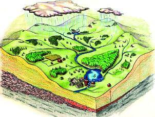
Caption: Watershed
Wisconsin Glaciation: the most recent glacial period during which the Laurentide Ice Sheet covered North America. The warming climate caused the ice sheet to recede approximately 10,000 years ago.
The Drumlin at Drumlin Farm Wildlife Sanctuary, Lincoln MA.
The coordinates of this earthcache will lead you to Drumlin Farm Wildlife Sanctuary in Lincoln, MA. In order to visit the drumlin you have to go during the Sanctuary’s hours of operation:
Mar – Oct: Tuesday through Sunday & Monday Holidays: 9am to 5pm.
Nov – Feb: Tuesday through Sunday & Monday Holidays: 9am to 4pm.
Admission is free to Mass Audubon members. Non-members have a nominal fee of $9 for Adults and teens, $6 for children ages 2-12 and $6 for Seniors 65+. There is no time limit for visiting the Sanctuary and there are many trails and plenty of things to do while you’re there.
The drumlin at Drumlin Farm can be seen in front of you as you drive into the sanctuary. You will pass it on your right as you approach the parking area. When you arrive at the Admissions Office, the drumlin will be to your right as you face the office. It’s a short walk from there to the Drumlin Loop Trail that will take you around and up the drumlin. Anyone at the admissions window can direct you to the Drumlin Loop Trail.
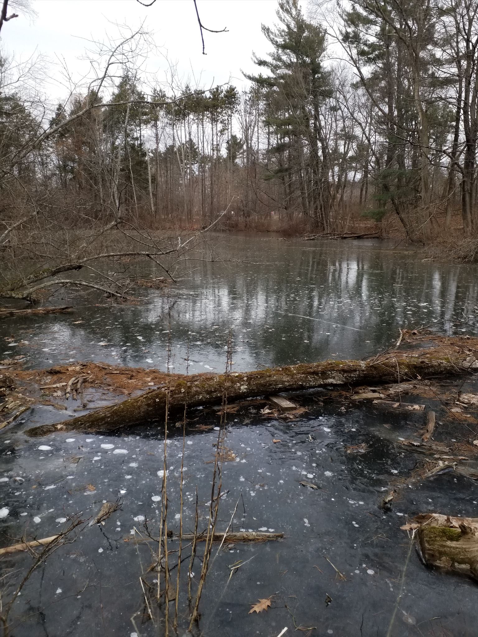
Ice Pond: a small pond near the blunt end of the drumlin at Drumlin Farm Wildlife Sanctuary
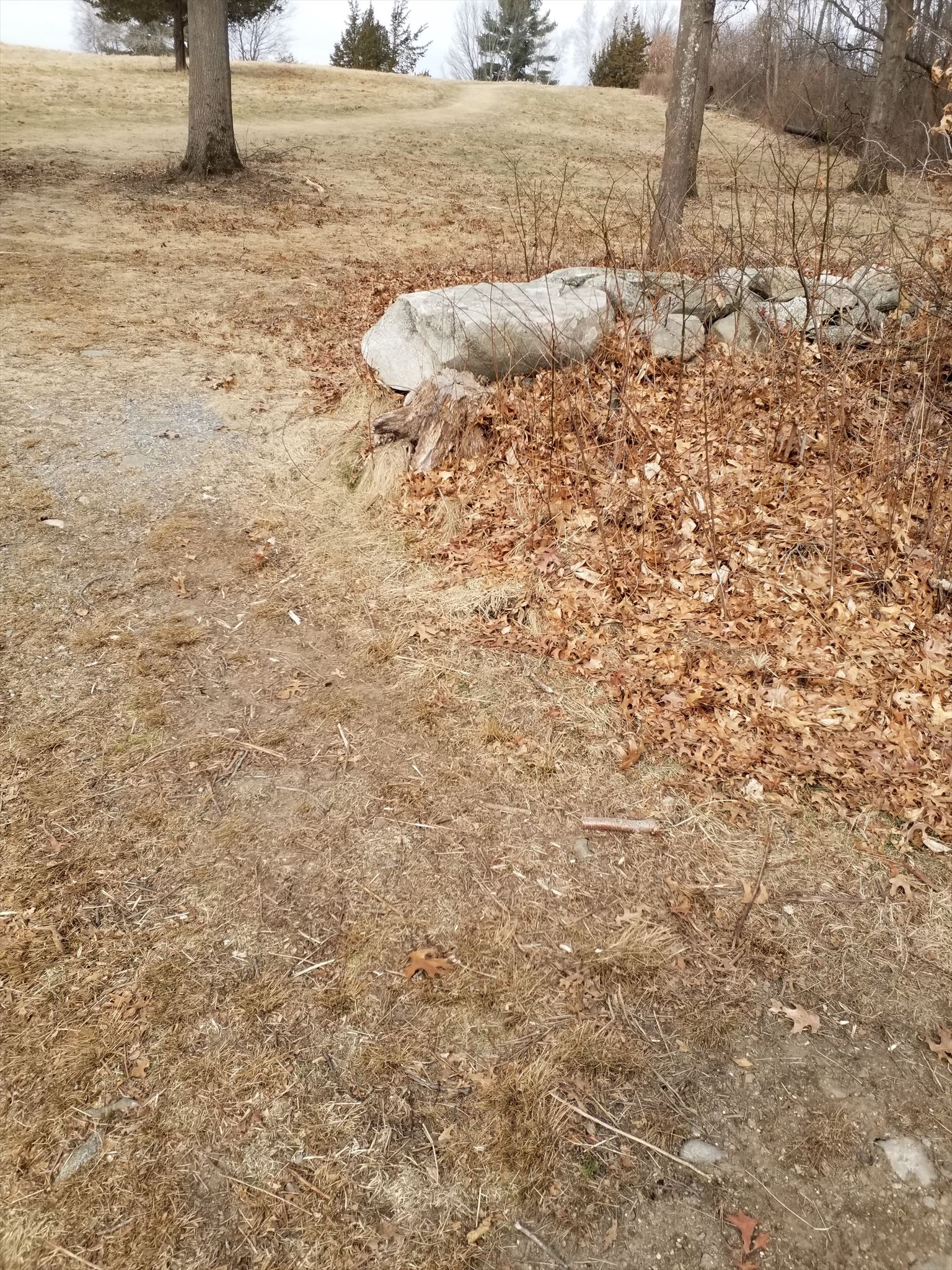
There are a few things you will notice as you follow Drumlin Loop Trail. For starters, how steep is the slope at the blunt end? How much different from the blunt end is the tapered end? How many large rocks are on the top of the drumlin? NOTE: The large rocks at the top of the drumlin are not erratics left up there by the departing glacier, but were moved there by humans over the course of time that the drumlin was part of various farms, or during the time that the property was used as a Nike Missile Base.
A note of interest: the middle of the drumlin is actually a dividing line between two watersheds: The SuAsCo Watershed that feeds the Sudbury, Assabet and Concord rivers and the Charles River watershed that feeds the Charles river. Much of Drumlin Farm lies within what was once a glacial lake. And if you look to the west, you’ll see Mt. Wachusett staring back at you. On a real clear day it is even possible to see New Hampshire’s Mt. Monadnock.
Along the Drumlin Loop at the tapered end of the drumlin you will see a stone wall with an interpretive sign about grasslands nearby. At the opening in the wall determine the distance between where you are standing and Waypoint 1 located at the other end (the blunt end) of the drumlin. (Simply click into Waypoint 1).
Looking up tapered end to top of drumlin at break in stone wall.
Add 264 feet to that distance and you will have the approximate length of this individual drumlin. Divide the length in half and you will have the approximate width of the drumlin at its widest point. (The drumlin at Drumlin Farm Wildlife Sanctuary is 287' above sea level.)
Please send the CO answers to the following questions in order to earn your smiley for this Earthcache. It will not be necessary to wait for a response from him to log your find. He will contact you if there are any questions regarding your responses.
1. What is the approximate length of the drumlin?
2. What is the approximate width of the drumlin at its widest point?
3. In which direction was the glacial ice moving?
4. Bonus Question: On which side of the drumlin is the SuAsCo Watershed located?