The Federation Trail
The Federation Trail is a 23 kilometre-long shared use path for cyclists and pedestrians, which mainly follows the heritage-listed Main Outfall Sewer through the western suburbs of Melbourne.
The trail was officially opened on 22 October 2006.
In 2010 work started on extending the trail from Millers Road to Williamstown Rd. Completion of stage 1 of the VicRoads Truck Action Plan should see the trail finally connected from Williamstown Road to the Hobsons Bay Coastal Trail on Hyde Street. In March 2011, work on the extension stopped completely, due to a change of government and troubles with funding and design of the bridge to Fogarty Avenue. Thirteen hundred metres of concrete path had been built which lay idle until November 2014, when the bridge was completed.
In November 2014, VicRoads announced that the trail has been extended from Millers Road to Fogarty Avenue in Yarraville with the completion of the 124-metre-long Brooklyn Bridge over the Brooklyn freight line. The next two stages include extending the trail to Williamstown Road and Hyde Street. (But don't hold your breath!)
Update: since then VicRoads has closed the new section taking out 4 caches! Supposed to be reopening 2020.
So I have started going in the other direction.
The Cache
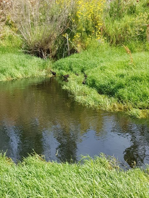
Two ponds here depending on the weather.
The first water birds I saw were a couple of Woodies, but then when I made a sharp movement a dozen Coots appeared!
But Duck Pond it is.