Tour Of Scituate Mystery Cache
-
Difficulty:
-

-
Terrain:
-

Size:  (regular)
Please note Use of geocaching.com services is subject to the terms and conditions
in our disclaimer.
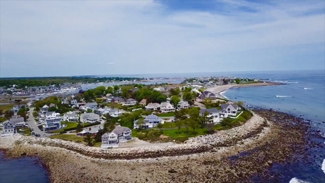
Welcome to Scituate, Massachusetts!
This 27 stage mystery cache will bring you to many of the historical and interesting places around the town.
There are 26 virtual waypoints that you will need to go to and answer a question that will associate a number to each letter of the alphabet. Some of these questions may seem odd because they are designed not to have the answer easily available online. Some of the questions you might be able to find online, but I would highly suggest to go to each waypoint because the answers are only based on the signs or things actually at that location, not what other online sources may say. All of the stages are on public property, including the final. The access point (parking) for the final is along a major road. You do not need to cut through any neighborhoods, or drive through private or dead end roads to get to the final. The Scituate Historical Society has asked me to encourage everyone to do these stages during daylight hours, as doing some of these at night may raise concern. The may require wading attribute only applies for the final after a lot of rain.
The Final cache location is at
N 42 ! @ . # $ % W 70 ^ & . * + ?
There is also a lock on the cache!
The combination is ~ ÷ √
A - Stockbridge Mill - Park here and face towards the path that starts with bricks and turns into boardwalk. On the right, there are large rectangular rocks. A is the number of those rocks.
B - Mann House - Park around here and walk to the old white historical sign. Face away from the street at this sign and face the blue sign that has 2 white posts in the ground. (Not the blue sign next to the street) B is the number of words on that sign. (All Font Sizes)
C - Sea Street Bridge - There are two different bridges that go from Marshfield into Humarock, which is part of Scituate. Find the year that each bridge was made. C is the difference of the number of years apart they are. (The year each bridge was built is engraved at the end of each bridge.)
D - Cudworth Barn - D is the number of doors on the Cudworth Barn. Be sure it is the barn, not the house. Double doors or double sliding doors count as 2.
E - Little Red Schoolhouse - Park by the tennis courts or in front of the old red schoolhouse. Find the flagpole. There is a plaque below the flagpole with 2 years listed. C is the value of each digit added together of the two years. (For example, if the years were 1990- 2010, the answer would be 22)
F - Lawson Tower - How many architectural “balls” are at the top of the tower? Do not include above or directly below the weather vane, or the ball on the first floor above one of the doors. But do include the ball that is on top of the smaller section on the tower, which is the staircase part. Be sure you count them from all sides. (This might be hard!)
G - GAR Hall - Go to the cannon. There are 4 posts around the cannon with 3 chain segments. G is the number of chain links between the Northwest most post and the Northeast most post. Do not count the part that is attached to the post.
H - Mt. Hope Improvement Society - The part was to bring you to the West End of the town. Walk over to the bench in front of the building. H is the number of holes on the metal backrest of the bench. (Don’t try to get crazy with screw holes or things like that.) You will know what you are looking for when you see it, and the smaller holes count too, and they don’t have to be all squares!
I - Mordecai Lincoln Mill - Built by the Great-Great-Great-Grandfather of Abraham Lincoln in 1691 - 1692. Find the white historical sign that tells you this. There is a telephone pole to the left of the sign (when facing it from the street) that says Meco with a number underneath. I is that number. Parking is tough around here, so please be careful.
J - Minot Beach - Find the Rock that says Minot Ledge Light - 143 “I love you” this is how the lighthouse Northeast in the distance flashes. Go to where the old stairs were to the beach. Start by the railing going North from the old stairs until it ends at private property. J is the number of metal posts that go into the sidewalk/concrete. There is parking around here but you may need a Scituate Beach sticker.
K - Egypt Beach - K is the number of blue bike racks (each one is shaped like a “n”) There is parking around here but you may need a Scituate Beach sticker.
L - Lighthouse - L is the number of windows that are at the top of the lighthouse (where the light shines out) There is typically plenty of parking here.
M - Ancient House - Park at the Jericho Boat Ramp. “The area to the right of Jericho Boat Ramp was used as Irish Moss drying beds in the 1930s - 19_0s”
N - Bates House - You may want to walk from Jericho Boat Ramp or Cole Parkway. N is the last two digits of the year of when the house was built circa.
O - Town Pier - Find the Plaque of the Friend of the Fishermen. O is the day of the death in December. You may want to walk from Jericho Boat Ramp or Cole Parkway.
P - Anchor - There is a square and a circle at one end of the anchor. P is the last digit on the square. The second to last digit is 4. There is plenty of parking here at Cole Parkway.
Q - Harborwalk - Q is the number after Nana. There is plenty of parking here at Cole Parkway.
R - Satuit Brook - After walking from Cole Parkway, come on the bridge and find the old white Satuit Brook Sign. From here, walk North on the sidewalk to the next telephone pole. Lean against it (be careful of nails!) facing the next telephone pole if you kept heading North. As you look along the line of sight of the next telephone pole, you should be able to see a number SPELLED out in the distance. If you can not see it, there might be cars waiting to pull out onto the street blocking your view. If you still can’t see it, move your head a little to the left.
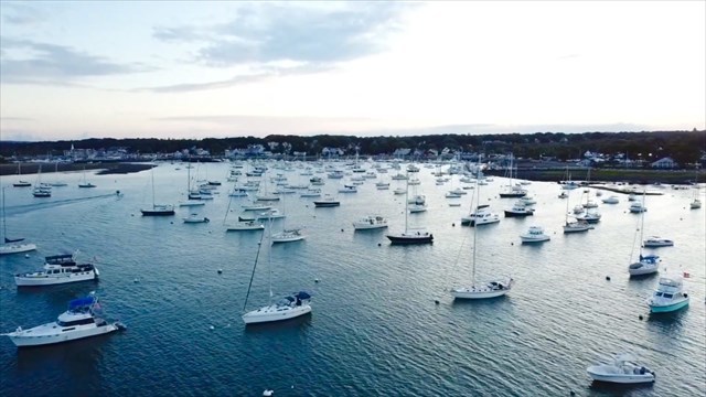
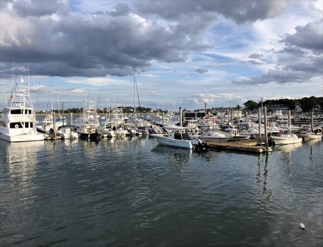
S - Maritime Center - Take a look at the sailing house. S is the number of round wooden posts along the ramp that go into the ground.
T - 2nd Cliff - This area is called Crow Point and has another perspective of the lighthouse. There is no good parking here so you may want to walk from the Maritime Center. T is the number of concrete posts that end the road. Be sure to look hard, they may be more off to the side than you think at first, but they are all about the same height and the same type of post.
U - 3rd Cliff - There is a good view of the Spit and Humarock (4th cliff) from here. These two cliffs used to connect by land before 1898. There is no good parking here so please be careful. U is the blank from the sign: “Kent before 16_8”
V - Driftway - According to the sign, there has been _ deaths in the last 10 years in the area due to the life threatening surf conditions.
W - Old Oaken Bucket - There isn’t good parking here so please use caution. The Old Oaken Bucket blue sign along the road has a year of 18__
X - North River - Park at this area and walk down to the right of the bridge along the marsh until you can see under the bridge. X is the number of cylindrical concrete pillars holding up the bridge.
Y - 4th cliff - Take a look at the historical sign. The bridge was renamed for the ___ anniversary of the Portland Storm.
Z - Humarock Bridge - Carefully find a safe way to look under this bridge. Z is the number of cylindrical pillars holding up this bridge.
! = M - K
@ = P - S
# = X - T
$ = Q - Y - J + P
% = U + R
^ = G - N - R
& = L + C - F
* = L - O
+ = (W + R ) ÷ V
? = H - J - 2B
~ = E - Z - M
÷ = I + D + A - R
√ = J - F + R
I have enabled the solution checker on this cache page. If your answer comes out incorrect and you can't figure out why, message me your answers and I will let you know what letter(s) are wrong.
Congratulations to jonnybgoode9 for the First To Find!!
Additional Hints
(No hints available.)