For English see below.
Bitte beachtet die Attribute. Ein kleines Fernglas ist ggf. hilfreich (D4), an einer Station braucht ihr Teamwork oder ein Hilfsmittel (T4). Nachts braucht man vermutlich eine etwas stärkere Taschenlampe. Der Weg beträgt einfach ca. 1,7 km, Zeitbedarf ca. 30-60 min (je nachdem wie schnell ihr "fündig" werdet), kein Rundweg.
Pandemiezeit. Lockdown. Langeweile. Winter. Was soll's zumindest für einen Spaziergang sollte man ja mal das Haus verlassen. Gesagt getan, dicke Jacke, Handschuhe, Mütze. Und los, eigentlich wollte ich zum Riemer Park, also vom S-Bahnhof in Richtung Gronsdorf den Fußweg an der Schneiderhofstraße rechts entlang bis zur Stelle an der auf der anderen Straßenseite der ersten Abzweig in den Park nach den letzten Häusern links abgeht (Startkoordinaten der Letterbox). Doch noch bevor ich die Straße überqueren und in den Park abbiegen konnte, fällt mein Blick verwundert auf das große Metallgerüst in der Nähe. Kenn ich doch. Was macht das hier, das ist doch ein Seminarhaus in Gronsdorf? Jahrzehnte ist es her, dass ich das zuletzt gesehen habe. Outback. Heiß war's, der Gedanke wärmt im Winter und erfreut in Zeiten in denen kein Flugzeug mehr irgendwohin fliegt. Ich lasse also den Park heute mal Park sein, das muss ich mir näher anschauen.
Hmm. Tatsächlich, Aussie Original. Bis auf die Farben. die passen nicht so richtig, aber das stört kaum (Frage A: Wie viele unterschiedliche Farben haben die Flügel des Rades, natürlich das in Gronsdorf und nicht die im Outback).
Outback Australia.
Spontan entscheide ich mich - wo ich schon mal hier bin - mal einen anderen Weg zu laufen und statt Park den Weiler Gronsdorf ein wenig genauer zu erkunden. Gedacht, getan. Ich folge der Straße entlang der Kurve nach rechts und wandere bis ins "Zentrum", wo sich die Straßen kreuzen. Eine davon geht nach Salmdorf, das Schild sagt 1km. Nicht grade weit, im Outback waren es rund um Mt. Isa gerne auch mal 100 km bis zum nächsten Kaff, das ist hier schon komfortabler.
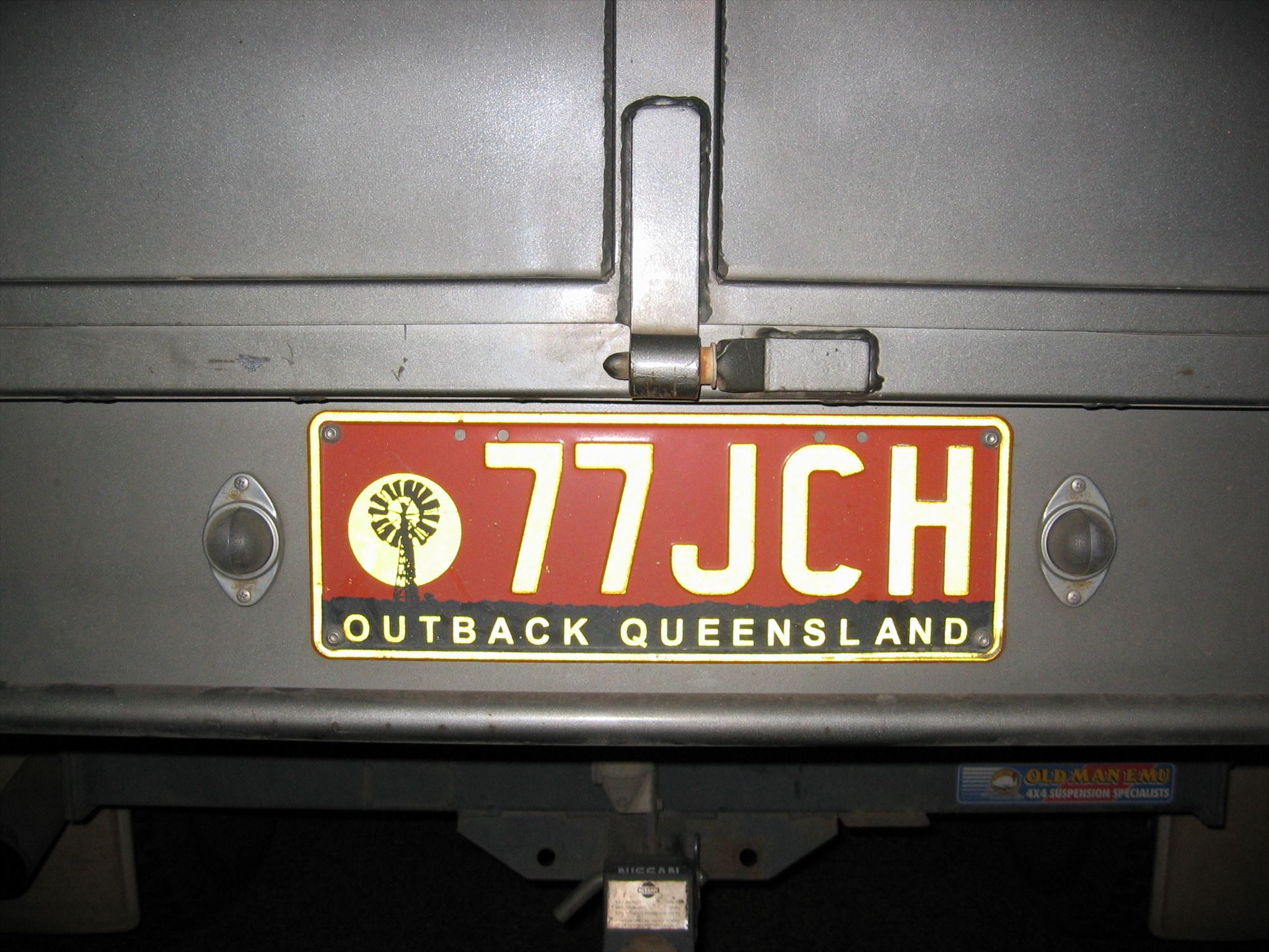
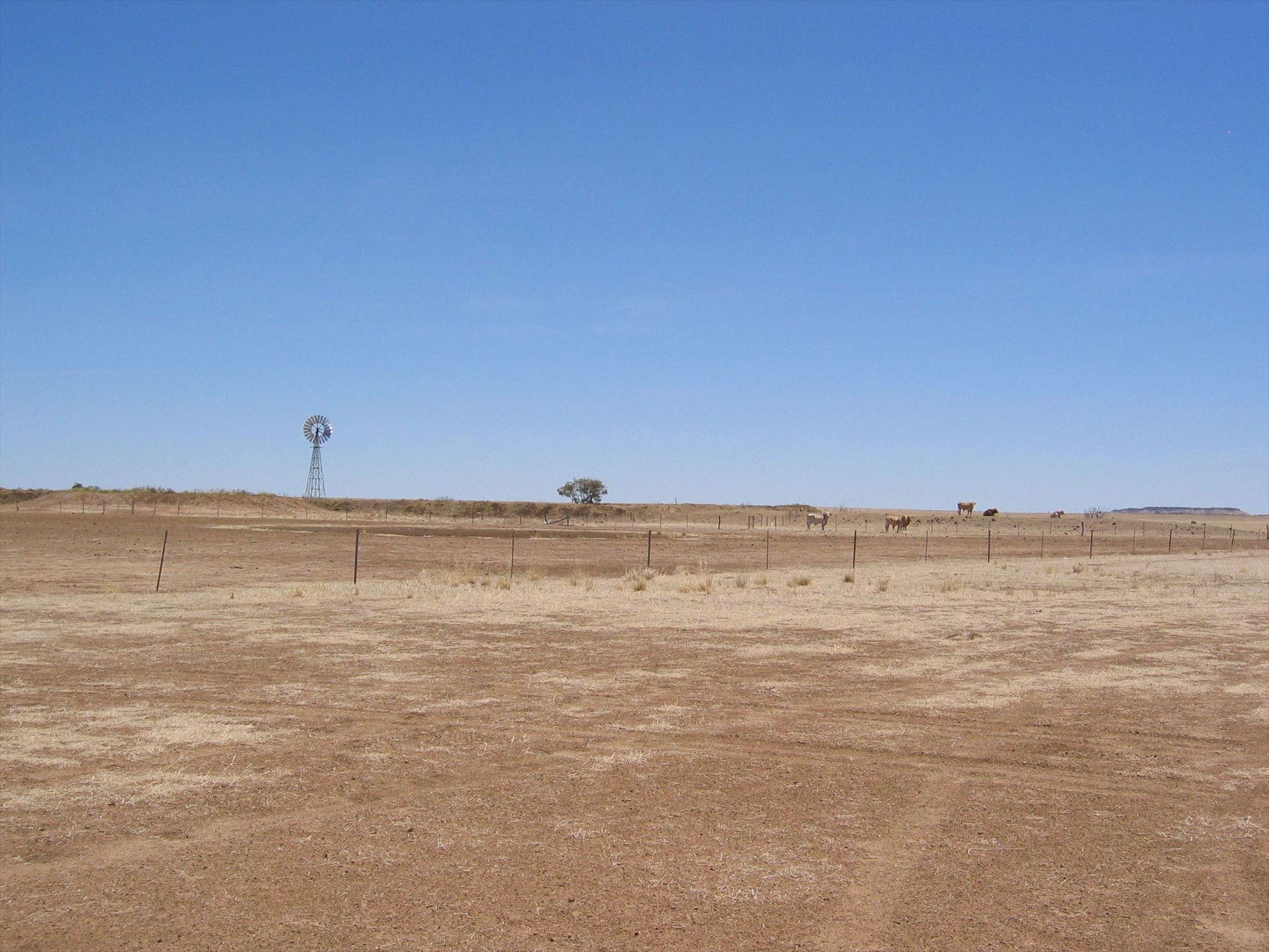
Wäre aber trotzdem grade lieber irgendwo mit einem 4WD auf endlos graden Straßen durch roten Sand im Outback unterwegs. Während ich so vor mich hin sinniere, fällt mein Blick hinter das gelbe Salmdorf. Geez. Das ist aber verwunderlich, was macht das denn hier. Auch damals oft gesehen (Frage B: Was ist hier zu sehen? Anzahl der Buchstaben des schwarzen Teils der Abbildung - natürlich auf Deutsch, Umlaut zählt einfach)


Outback. Roads.
Okay, interessant, mal schauen was es hier sonst noch so gibt, gehe mal weiter Richtung Salmdorf. Meine Gedanken schweifen dabei ab zurück in den Süden als wir damals aus dem Outback Richtung Townsville und weiter für ein paar Tage nach Magnetic Island unterwegs waren. Dort angekommen: Superhitze, Sonnenbrand, Abenteuertouren durch den Küstendschungel. Hier in der Realität gibt's auch Bäume, zurzeit ohne Blätter allerdings. Am Ausgang von Gronsdorf rechts der Straße eine ganze Reihe entlang der Pferdekoppeln. Am letzten größeren Baum noch vor dem Ortsausgang bleibe ich versonnen stehen und blicke in die Krone. No way! Das gehört auch nicht hierher, sondern eigentlich nach Magnetic Island. (Frage C: Anzahl der Buchstaben von dem was hier zu sehen ist - deutsches Wort, die kürzere Version. Bitte nirgends rumklettern. Für Geocacher ohne Adleraugen ist für eine exakte Identifizierung möglicherweise ein kleines Fernglas hilfreich).
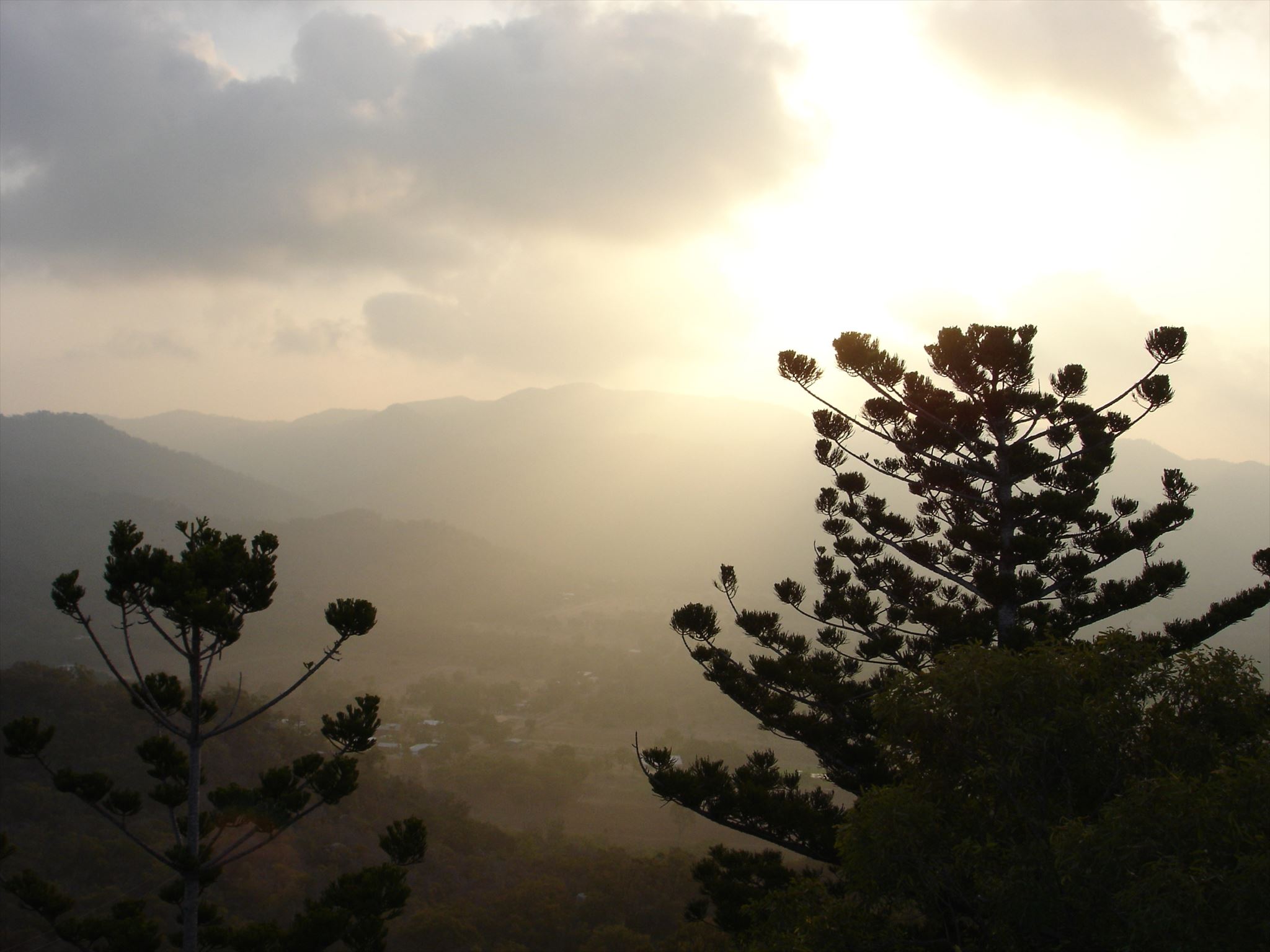
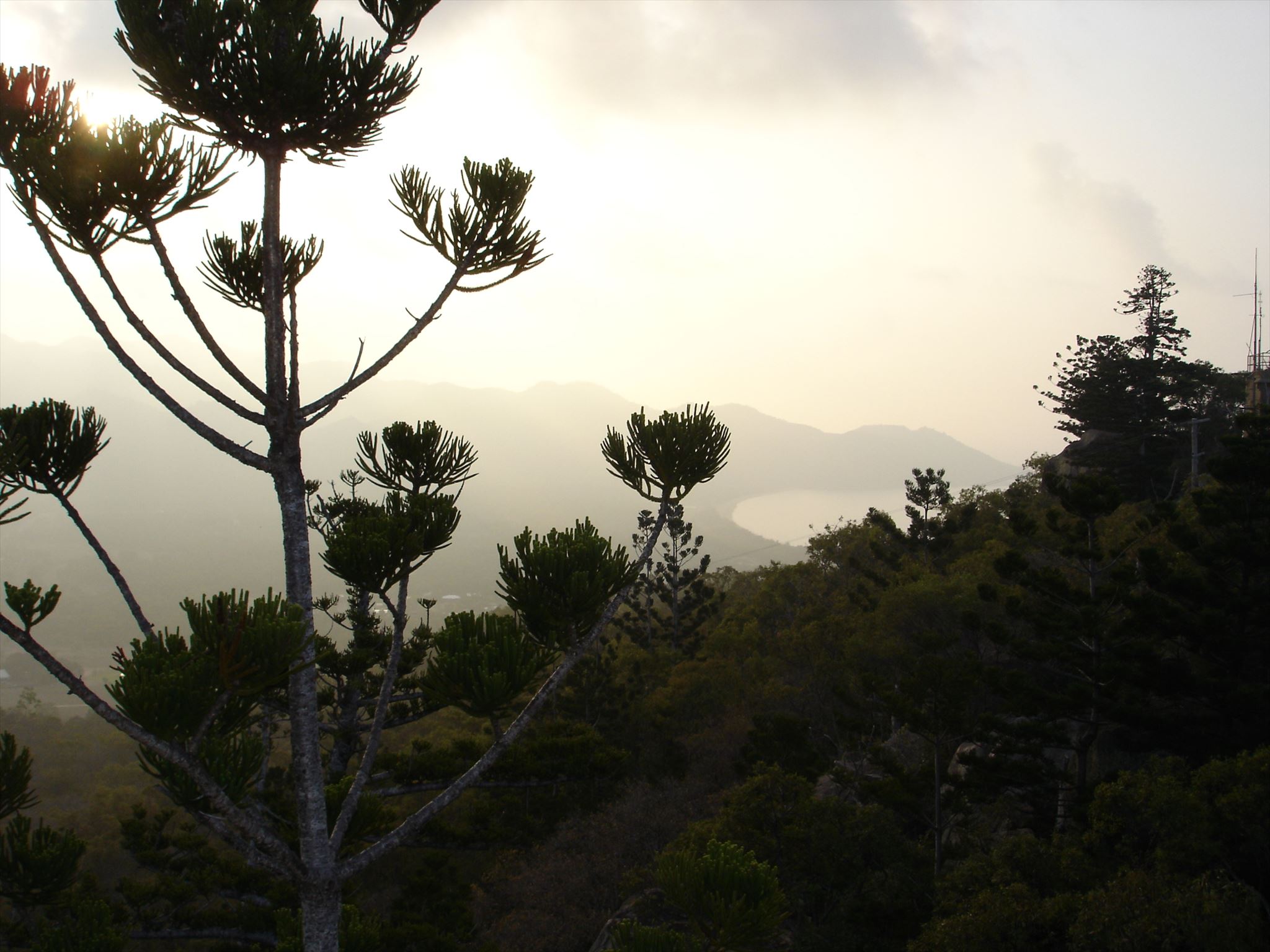
Magnetic Island.
Noch ganz verwundert schlendere ich weiter durchs Oberbayrische Outback bis zur Stelle an der die Straße eine Kurve nach links macht. Hmm Durchfahrt verboten, Betonblöcke, wohin der Pfad wohl führt? Mal schauen. Kleine Klettereinlage, dann der Rundumblick. Schöne Farbe, denkt man gar nicht. Wieder fühle ich mich erinnert an den Kontinent im Süden, nach Abstecher zum Great Barrier Reef (fantastisch!) weiter nach Fraser Island mit spektakulärem Hike zum Lake Basin. Nie ein schöneres Exemplar See gesehen. Überhaupt Fraser Island. Grandios. Nur das Fahren. Nicht für jeden was und geht auch nicht mit jedem Auto. Hab ich das geträumt oder haben wir den Jeep auch damals schon "am" Durchfahrt Verboten" Schild geparkt bevor es zum See ging? (Frage D: Welche Farbe hat das Auto (natürlich nicht das auf dem Bild)? Anzahl der Buchstaben, auf deutsch). Anmerkung: Hier braucht ihr Teamwork oder ein Hilfsmittel (T4).
Achtung: Diese Station ist leider nicht mehr verfügbar, da die Gemeinde beschlossen hat das Schild abholen zu lassen. Leider ist auch der See ausgetrocknet (Das Outback trifft der Klimawandel besonders hart...). Die Aussicht ist trotzdem noch ganz cool... D = 4

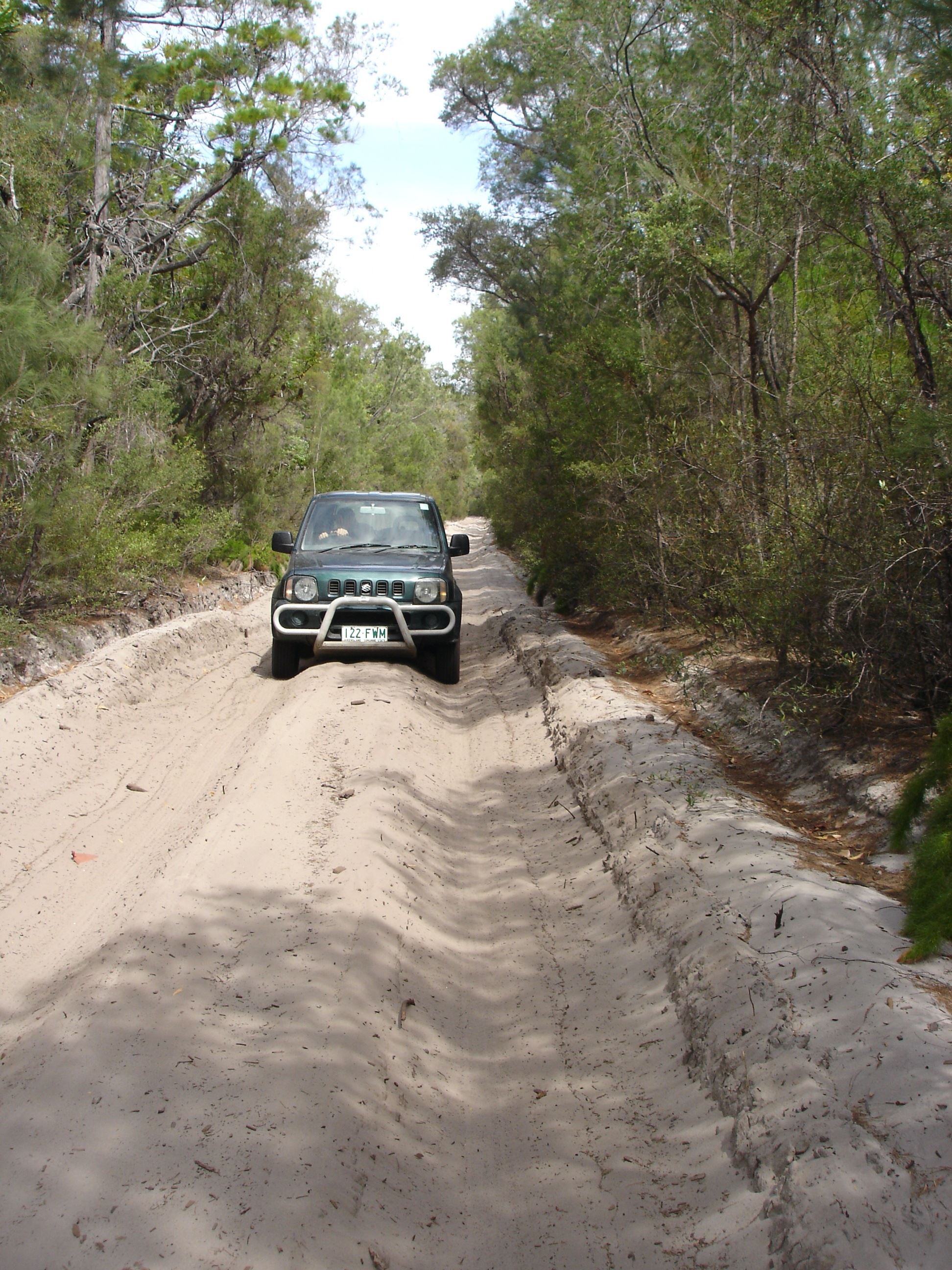
Lake Basin, Fraser Island
Hmmm, so langsam wird es dämmerig. Aber mal noch weiter in Richtung Salmdorf, mal sehen was hier noch so kommt. Und noch nicht einmal dort angekommen wieder: Oh my, again true Aussie Spirit, ich erinnere mich noch gut an das köstliche "Monster" das ich an der Stockman's Hall of Fame geniessen durfte, das passt ja irgendwie. Genau darauf hätte ich jetzt auch Lust. Natürlich nicht möglich grad, schade, ansonsten sehr empfehlenswert. Ich mach jetzt mal Schluss mit dieser seltsamen Tour, sonst wird es zu verwirrend.
Aber halt, was ist denn das da für eine Dose bei N 48° 7.(A+D)(C)(B)' E 11° 42.(C+D)(A+D)(D)'......
Anmerkung: Koordinaten werden nicht unbedingt gebraucht, wenn ihr der Beschreibung folgt.
Zur Dose: Bitte vorsichtig entnehmen und ebenso wieder "rückführen". Zum Öffnen brauch ihr den Code (B-D)(C)(A). Bitte nach Gebrauch sorgfältig verschliessen (sowohl innen als auch aussen).
Achtung: Innen am Deckel des Behälters klebt eine Bonuszahl, sicherheitshalber schonmal notieren.
********************************************************
...und - falls gewünscht - als Erinnerung an den virtuellen Trip Down Under:

<img src="https://img.geocaching.com:443/31ad2f58-a536-4a45-b8fd-f4935e180315.png">
Please note the attributes. Binoculars might be helpful (D4), at one station you need teamwork or a tool (T4). The route is 1.7 km long, time requirement app. 30-60 min (depending on how fast you discover the "items" on the way), it is not a circular route. At night you probably need a strong flashlight.
Pandemic time. Lockdown. Boredom. Winter. However, one has to leave the house at least once in a while. No sooner said than done, I put on my jacket, gloves and cap. Since I initially wanted to take a stroll in the Riemer Park, I walked from the S-Bahn station in the direction of Gronsdorf village along the footpath at the right side of Schneiderhofstrasse up to where the first walkway goes into the park after the last houses of Gronsdorf Kolonie at the other side of the street on the left (starting coordinates of the letterbox). But before I could cross the street, my gaze fell in astonishment on the large metal scaffolding nearby. What is THIS doing here? Last time I saw something like that was decades ago. Thinking back to this somehow comforts me in winter and in times when there are no more planes flying anywhere. So I abandoned the idea of a walk in the park and took a closer look. Hmm indeed, Aussie original. Except for the colors. they don't fit, but that doesn't really matter (Question A: How many different colors have the wings of the wheel - not the ones on the pictures but the ones in reality).
Spontaneously, I decided to take a different route today and instead of going in the park to explore the hamlet of Gronsdorf a little more closely. Thought and done. I follow the turn of the street to the right and walked to "Gronsdorf center", where the streets cross. One of them goes to Salmdorf, the sign says 1km. Not that far, I thought, in the outback around Mt. Isa it was sometimes more like 100 km to the next few houses. But I would - right now - still prefer to be back with my 4WD on endless roads through red sand in the outback. Still in thoughts, my gaze fell on the Salmdorf signpost. Geez, that's astonishing, what is this doing here.... (Question B: What can be found here? Number of letters of the thing in black on the illustration - please use the German word, umlaut counts as one letter).
Asking myself what else could be found here, I moved on in the direction of Salmdorf. By doing so, I once again thought back to our times Down Under and our journey from the Outback towards Townsville and on for a few days to Magnetic Island. There: Extreme heat, sunburn, adventure tours through the coastal jungle. My mind came back to Gronsdorf, here the trees look pretty different and currently lack leaves. At the last larger tree on the right side of the street leaving Gronsdorf (near the horse paddocks) I stoped pensively and looked into the crown. No way! That doesn't belong here, but very much to Magnetic Island. (Question C: Number of letters of what can be seen here - please use the German word, when in doubt use the shorter version. Binoculars might be helpful for definitely identify the "thing" for geocachers without eagle eyes. Please do not climb anything, this is not necessary. Just look hard enough).
Still astonished, I moved on towards Salmdorf through the Upper Bavarian Outback to the point where the road makes another turn to the left. Hmm, a signpost here says passage forbidden for vehicles, and the path is blocked by concrete blocks. But where does this path lead? I had to had a look. After a short climb, I got an all-round view. Beautiful color. Having my mind set on the great south country, again, this reminded me of our tour from the Great Barrier Reef (fantastic!) to Fraser Island where we took a nice hike to spectacular Lake Basin. Never seen a more beautiful lake. And Fraser Island in general. Just great. Well, maybe apart from - sometimes - the driving. Also fun but not something for everyone and not something for every car. Was I dreaming or did we also parked our jeep "at" the passing prohibited sign post back then, while we went to the lake? (Question D: What color was our car (the one in reality, not the one on the picture in the listing!)? Number of letters, please use the German word). Remark: Here you need temwork or a supportive tool (T4).
Attention: Sadly, the sign was taken away, this is why the car is not findable anymore. Because of climate change, the lake is dried out too, but the view is still cool :)... D = 4
Hmmm, it's getting dark. But I decided to at least walk the remaining few hundret meters to Salmdorf. And again: Oh my, true Aussie Spirit once more, I still remember the delicious "monster" which I had at the Stockman's Hall of Fame in Longreach back then. Exactly what I would like to enjoy now, but of course currently due to lockdown reasons not possible. Too bad. I decided to end my strange tour here.
But wait, what kind of box is that at N 48° 7.(A+D)(C)(B)' E 11° 42.(C+D)(A+D)(D)'.....
Remark: Calculating the coordinates is not essential if you follow the description.
About the cache: Please remove the box carefully and put it properly back. To open the box you need a code (B-D) (C) (A). Please close carefully after use. And remeber when travel is not doable: It can also be nice to have a stroll in upper Bavaria, just open your eyes...
Attention: At the closing lit of the cache box you can find a bonus number. I would recommend to note it done somewhere for later.
Note: You will get a special mentioning in the listing, if you are from Australia and find this cache, just mail me for that 
************************
...for banner code, see above.