Sampson's Pebble is the current name of a large glacial erratic along the Mid-state Trail in Oakham. However there is a small mystery in its long history. Where did it get the name Sampson's Pebble? For over 150 years it went by another name; Flint Rock. So let's take a look at its known history.

17,000 Years Ago:
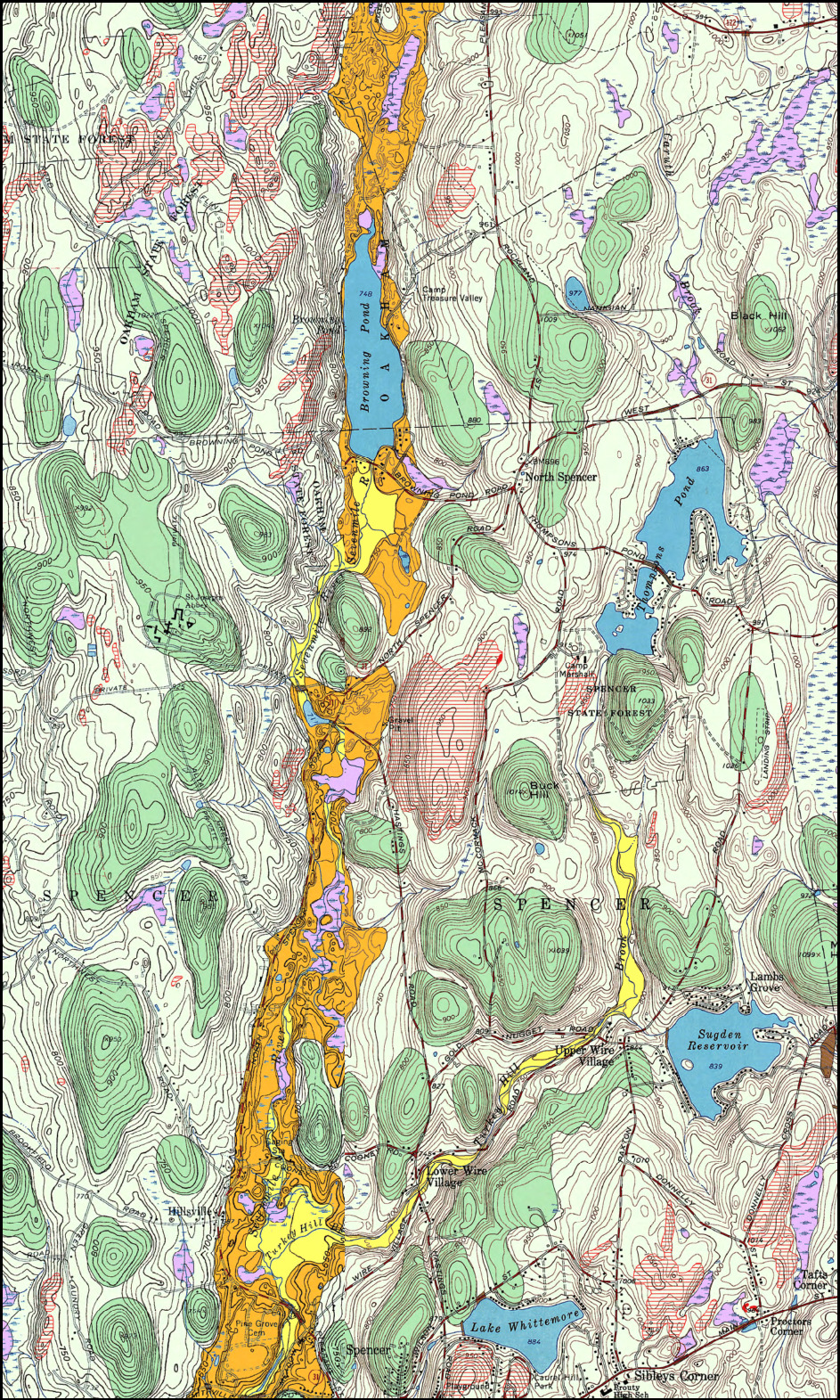
Sampson’s Pebble is a glacial erratic, meaning that the rock composition doesn’t match its substrate; of many in the area. Retreating glaciers around 17,000 years ago deposited this and other erratics in the area. As these ice structures retreated and moved, various debris collected in the ice were deposited. The grinding and scouring created most of the smaller debris while bigger pieces remained more prodiminant on the surface. The Wisconsinan glaciation is the most recent glaciation to cover the area. Mount Wachusett is estimated to have been covered with slightly more than 4000 feet of ice while Worcester was covered by ice that was 1500 to 2000 feet deep. Its possible this erratic came from NH as glacier lakes moved from North to South in this region as apparent in bedrock maps (shown below).

250 Years Ago:
The glacial erratic sits on a hill peak at approximately 1050 ft above sea level. It's about 40 ft high, 25 ft across, and easily weighs over 1000 tons. So it's no wonder that it's marvel was discovered as colonists started moving into the area. One such colonist was John Flint.
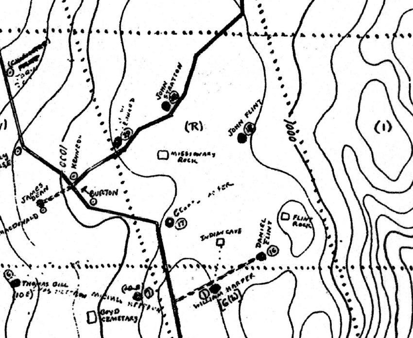
John Flint was born January 30th 1751. He came to Oakham from Rutland in 1779 and purchased 60 acres from Abraham Smith, his father in law. His third son, Daniel W. Flint, bought the farm in 1809, and later bought the William Harper Dunn farm to the south that includes “Flint Rock”. The cart road that lead to Daniel's house and then north to John Flint's house is what is now known as Flint Rd (shown below).
20-30 Years Ago
It seems the land eventually was sold back to the Commonwealth of Massachusetts at some point, and becoming part of Oakham State Forest. Sampson's Pebble was not identified on the 1967 geological survey map, but the 1982 map has it noted in bold. The first Midstate Trail guide published in 1993 uses the 1982 geological survey map and its reference to Sampson's Pebble. Even a local historian was unable to find the origin of this name, but it seems to have replaced its original historical name.
1967 Geological Survey Map

1982 Geological Survey Map

So it seems that the one thing truly known about this large boulder is how it came to be. Its historical name has all but been lost to time; held onto by locals and historians. It seems sometime before 1982 it was given its new name. Myself and local historian believe it was given its present name by locals who were probably there one late night. It seems back in the day it was also known as "The [drinking] Circle". So I suspect it was during this time it underwent its name change.
In order to claim credit for this earthcache, please email me your answers (do not post answers in your logs). Email or message center are both fine. You may send one email for all members of your group as long as you include all names in your message. You don't have to wait to recieve a message back to log this cache. I'll only contact you if any answers look off. "Found Logs" without an email with answers sent is subject to deletion.
Please answer and include the following:
*In regards to "Flint Rock 🪨AKA🪨 Sampson's Pebble":
*Answers sent for [cacher name].
*A picture of you, GPS, identifiable object, or hand/foot with Sampson's Pebble in the background.
1. In your own words, what is a glacial erratic?
2.Based on the area around GZ, would you say the till is thin, thick, or Bedrock?
3. What is the estimated height of the rock below ground? How is this evidence its a Glacial Erratic?
4. Using the maps and examples at GZ, what direction would you say the glaciers were moving? What examples do you see at GZ?
BONUS- How do you think Flint Rock became known as Sampson's Pebble. Feel free to include your thoughts on that in your log If you happen to know its actual origin, I encourage you to share it. There are those who would greatly appreciate an answer to this historic question.
Congrats to GalinaF on FTF!