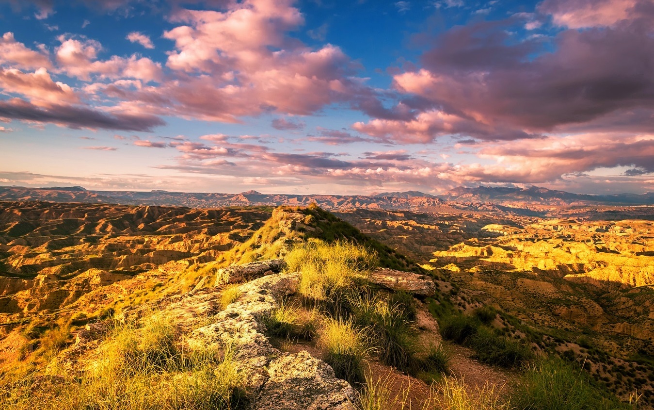
Vistas desde el Puntal de Don Diego, al atardecer
LOS DÓLMENES DE GORAFE
Gorafe se trata de una pequeña localidad en el norte granadino, de unos 400 habitantes a día de hoy, enclavado en la depresión que forma el río Gor.
Si bien destaca por su casas-cueva; por el rojizo paisaje que lo envuelve, que parece de otro planeta, formando el desierto de los Coloraos; o por su complejo astronómico, ya que Gorafe se trata de uno de los plugares donde existe uno de los cielos nocturnos menos contaminados de España, convirtiéndolo en un gran enclave para practicar el astroturismo; hay otro atractivo por el que Gorafe destaca: sus 240 dólmenes neolíticos diseminados en 10 necrópolis, la convierten en la mayor concentración de túmulos prehistóricos de España.
La razón de esta abundancia es que el arroyo de Gor es una depresión natural situada en un corredor geográfico muy transitado durante la Prehistoria, frontera entre los grupos tribales levantinos y los de la baja Andalucía que ocupaban esta zona en el V milenio a.C.
Las poblaciones neolíticas que se asentaron aquí formaban una sociedad compleja, jerarquizada, y con una economía de tipo agropastoril. Vivían en casas excavadas en las laderas o en construcciones de piedra con tejados de ramas y enterraban a sus muertos en el interior de dólmenes.
De los 240 dólmenes, un total de 198 han sido estudiados y catalogados, localizados en ambos márgenes del valle excavado por el río Gor, y distribuidos en grupo a lo largo de una decena de kilómetros. La abundancia de megalitos ha hecho que a la gran mayoría no se les conozca por nombres, sino por la numeración impuesta por los arqueólogos. Además de por la concentración, llama la atención la diversidad de sus estructuras, ya que las hay de planta trapezoidal, pentagonal, rectangular, cuadrangular y poligonal.
Aunque se fechan hasta hace unos 5000 años, las excavaciones realizadas y los numerosos ajuares encontrados (ídolos, collares, cuchillos de sílex, vasos cerámicos,...etc.), revelan que una gran parte de estos sepulcros fueron utilizados desde el Neolítico Final (2800-2600 años a. C.) hasta el Cobre Pleno (2400-2200 a. C.).
SOBRE EL CACHÉ
Para realizar este multi, os invito a que recorráis los tramos Conquín y Gorafe del Parque Megalítico de Gorafe, en los cuales deberéis identificar cada una de las fotos con su valor correspondiente.
Observaréis que en la lista de waypoints, cada uno de los puntos que conforman este multi está asignado con una letra, y a su vez, cada una de las fotos que aparecen en la descripción (con diferentes dólmenes) tienen asignadas un número: simplemente deberéis visitar el waypoint, relacionar la foto con el lugar, y asignar la letra del waypoint con el valor de la foto en la fórmula a continuación.
¡Buena suerte!
N 37º 28.(A-B+D+C*E)
W 003º 02.(A+B+C+D+E)


GORAFE DOLMENS
Gorafe is a small village in the north of Granada, with about 400 inhabitants at this moment, nestled in the depression formed by Gor River.
Although it stands out for its cave houses (houses dug into rocks and clay); for the reddish landscape that surrounds the village, which seems from another planet, forming the Coloraos Desert; or for its astronomic complex, since Gorafe is one of the places where there is one of the least polluted night skies in Spain, making it a great enclave to practice astrotourism; there is another POI for which Gorafe highlights: its 240 Neolithic dolmens spread across 10 necropolises make it the largest concentration of prehistoric burial mounds in Spain.
The reason for this abundance is that the Gor stream is a natural depression located in a geographical corridor that was very busy during Prehistory, the border between the Levantine tribal groups and those of lower Andalusia who occupied this area in the 5th millennium BC.
The Neolithic populations that settled here formed a complex, hierarchical society, with an agropastoral type economy. They lived in houses dug into the slopes or in stone constructions with roofs made of branches, and they buried their corpses inside dolmens.
Of all these 240 dolmens, a total of 198 have been studied and catalogued, located on both sides of the valley excavated by Gor River, and distributed in groups over a dozen kilometers. The abundance of megaliths implies that the vast majority are not known by names, but by numbers imposed by archaeologists. Besides the great concentration of them, the diversity of its structures draws attention as well, since there are trapezoidal, pentagonal, rectangular, quadrangular and polygonal floor plans.
Although some of they have benn dated about 5000 years ago, the excavations carried out and the numerous grave goods found (idols, necklaces, flint knives, ceramic vessels, etc.), reveal that a large part of these tombs were used since the Final Neolithic (2800-2600 years BC) to the Medium Copper Age(2400-2200 BC).
ABOUT THE CACHE
In order to do this multi, I invite you to walk around Conquín and Gorafe sections of the Gorafe Megalithic Park, in which you must identify each one of the photos with its corresponding value.
You will notice that in the list of waypoints, each of these points that make up this multi is assigned with a letter, and in turn, each of the photos that appear in the listing (the ones where appear different dolmens) are assigned with a number: you simply have to visit the waypoint, relate the photo to the place, and assign the letter of the waypoint with the value of the photo.
Good luck!
N 37º 28.(A-B+D+C*E)
W 003º 02.(A+B+C+D+E)