 If you go, prepare for a hike that will probably take you all day. Follow the directions to either Deer Pass Cache or Oso Pass Cache (The best way is to start at the Embudito Trailhead.) Follow the Upper Embudito Trail, which connects Deer and Oso passes, until you reach a cairn at N35 06.798 W106 25.831. At this point, take the branch trail northward and muscle your way up the hill. Follow the ridge to the far end and then climb up to the top.
Two cubes of concrete adorn the summit, bonus points for whoever can carry one down. Enjoy the spectacular view for a bit, and then switch on your GPS to find the cache. It's located a few yards northwest of the summit, under a rock and behind a shrub. The cache is a two-foot length of 3-inch Schedule 40 tubing, so bring small stuff. I posted some photos in a note log on April 24, you might want to print those off to use if you get stuck and can't find it.
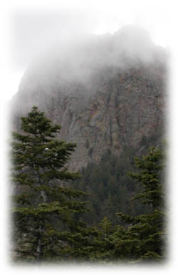
A few reminders of how to prepare: This is a long high-altitude hike, so start early and bring raingear, sunscreen, and LOTS of water. Also bring food, we recommend Corn Pops and Peanut Butter for maximum energy as it worked okay for us. Our trip to the top involved visits to three other caches and an alternative exit, so it took nine hours (preposterous!).
If you have any questions, email me and I'll be happy to give hints or clarifications. I hope you enjoy the hike!