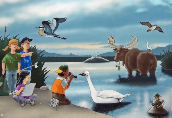
The Kortright Marsh

At the Kortright Marsh there is a bird blind,
boardwalk, and raised viewing platform. This marsh was created in
1977 by berming (dredging and piling up fill) and creating a
diversion of drainage when needed with waters from Cold Creek. The
outflow is the red structure by the bird blind. Wetlands, like a
marsh, are important to our planet for many reasons including:
nesting, feeding and resting habitat for migratory waterfowl;
creation of food chains/web; habitat to a variety of mammals and
shore birds; etc. One of their most important roles is to clean
water as they are the 'planet's kidneys'. Of special note to this
marsh is the returning pair of trumpeter swans which return every
year.
In geography, a marsh, is a type of wetland that is subject to
frequent or continuous flood. Typically the water is shallow and
features grasses, rushes, reeds, typhas, sedges, and other
herbaceous plants. Woody plants will be low-growing shrubs. A marsh
is different from a swamp, which has a greater proportion of open
water surface and may be deeper than a marsh. In North America, the
term "swamp" is used for wetland dominated by trees rather than
grasses and low herbs.
In order to log this
earthcache you will need to perform the following tasks and email
me the answers. You can perform the following tasks as you walk
along the boardwalk and while visiting the viewing platforms.
a) Approximate the size of the marsh. Use the far shore and berms
around the edge as a perimeter. Use acres or hectares. (A hectare
is 100mx100m or 2.5 acres) Hint: One of the signs gives the answer.
Compare what you calculated to what is mentioned on the sign. How
close are you?
b) From the viewing platform decide how much of the original water
portion of the marsh has disappeared. (View to north will add some
insight here.)
c) Is the dominant plant growing in this area cattails or bull
rushes?
d) Why would the water level be so low? You can ask Kortright staff
for help if needed, but there are some obvious answers.
e) Using the signage if necessary submit the name of one example of
each of the following which frequents the marsh at Kortright:
mammal, bird (water); bird (shore); reptile; amphibian;
mollusc/crustacean; fish. Did you see any of these, if so, which
ones.

This cache was placed under
direct supervision of park staff. Please use the provided trails
and visit this geocache only during park hours.