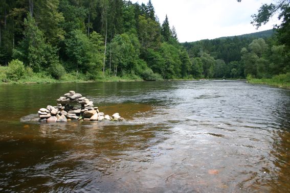
The cache was placed during our boattrip from Vyssi Brod to Branna.
We did it in 2 stages:
1.Vyssi Brod - Rozmberk - cca 2 hours - 10 km - 3 weirs
One of the best known European traces with nice river flowing,
the river flows along a way, after 40 minutes there is refreshment
possibility "U tri veverek". After 2 hours you can see from the
river imposing castle in Rozmberk.
There are 3 weirs during the trace. The first is situated 800 m
from start. For inflatable boats it is not any problem, canoes we
recommend take the weir over. The second weir is in Herbertov,
after 4 km. For canoes there is a chute and inflatable boats can go
through the weir. The last weir is situated in Rozmberk. For canoes
and inflatable boats there is a chute.
2. Rozmberk - Branna cca 2-3 hours - 10 km
Trip from Rozmberk takes about 2 - 3 hours. There are no other
weirs.
If it is possible, please write your logs in English. Thank
you.
Pokud je to možné, prosím napište vaše logy
v anglictine. Dekujeme vám.
