The Reek
Croagh Patrick has many names including the common name of "The Reek". Other names are Cruach Phádraig (Patrick's Stack), Cruachán Aigle, Croach Patrick and Patrick’s Mountain. Visitor numbers to the mountain and surrounding Westport area are in excess of 1 million per annum, making it the busiest mountain in Ireland. The final Sunday in July is known as Reek Sunday and it is estimated that in excess of 30,000 people attempt the climb on that day. Not such a good day to choose as a Geocacher, perhaps?

The Geology

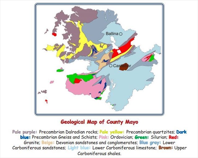
Image courtesy of http://geoschol.com/counties/MAYO_GEOLOGY.pdf
To the north of County Mayo there is a great mass of serpentine, probably produced by the metamorphism of an igneous rock. Quartzites occur on Croagh Patrick but due to the strangeness of the rock formations on the reek many people call it the up-side-down mountain. The numerous folds in the land area are responsible for this belief. You can see from the colour coding that there are 3 rock folds near to the reek which is in the South of the county. South Mayo contains sedimentary rocks, including some spectacular boulder conglomerates of Ordovician age preserved in an enormous fold called the South Mayo Trough. Terrane faults separate it from rocks on either side. Silurian rocks are faulted alongside here too. There are three distinct fault sequences. Croagh Patrick is made of quartzite rock as one sequence. Louisburgh and Old Head have another different sequence and the southern rocks of Joyces Country (South of Croagh Patrick towards Galway) are distinct again.
The rocks on the lowermost slopes are peridotite (originally protolith). When peridotite becomes exposed to the elements it reacts to become serpentine, which is greeny coloured soft mineral, rich in magnesium. Look out for these coloured rocks on the climb. These rock types pass by a narrow isthmus between the secondary rocks at Castlebar all the way to the shore of Clew bay, and join the range at Croagh Patrick, which then proceed downward towards Galway. No secondary rocks are met with between Achill head, on the west coast, and Balderric on the north.
Drumlins

Drumlins exist in clumps or bunches. They are formed by glacial flow with the longer sides parallel to the path of glacial flowing ice. They can be in different shapes but the constant fact is that the glacier facing side is always high and steep and the sloping side just tapers gently away in the direction that the ice moved. Drumlins are usually very small in footprint size, no bigger than a kilometer or two (about 1 mile). The can be as high as 100 feet and average 500 metres wide.

Pay Attention

To Log the Cache
*Firstly you must climb Croagh Patrick. Please send (to my geocaching.com email account) the answers to the following questions
1.) Where on your climb of Croagh Patrick will you see primary rocks and what color are they?
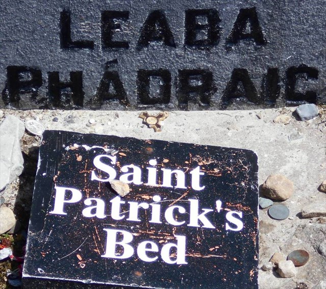
2.) Is Croagh Patrick the highest mountain in Connacht? At the summit you will see Patrick's Bed surrounded by a metal frame. Measure this outside frame using baby steps (heel-to-toe method) and also describe type of rocks that surround this bed?
3.) Where on the Croagh Patrick range will you find graphitic schists and how big are the ones you see on your climb?
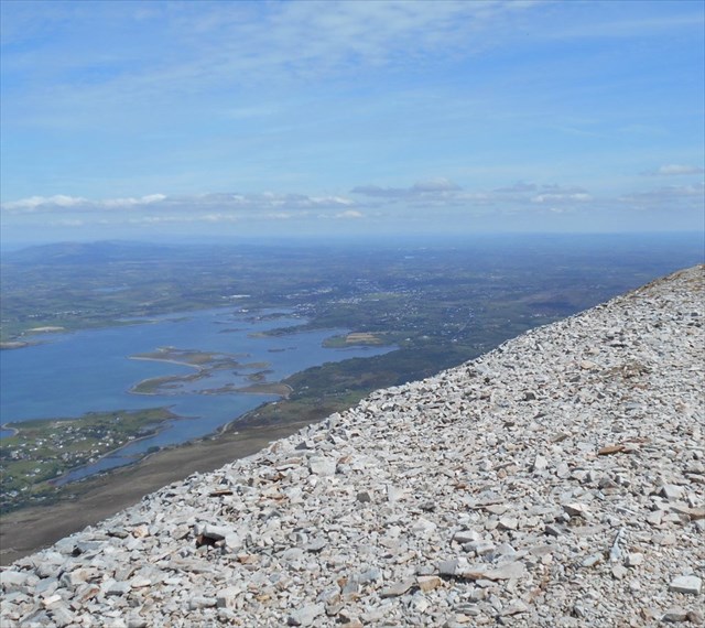
4.) Drumlins can be viewed from the very top of Croagh Patrick but which side, left or right, is the Stoss end as you look directly at them from the mountain top?
You may log the cache immediately upon completing the climb but logs made ‘without’ sending the correct answers to my geocaching.com email account will be deleted!

Plan Ahead and Prepare
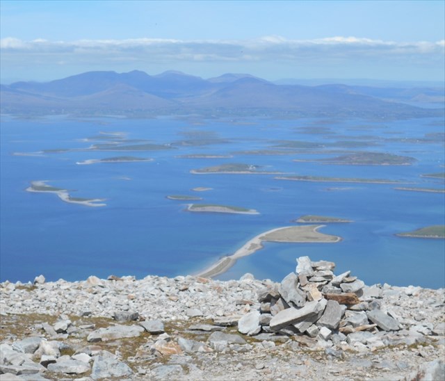
Let someone know where you are going and when you will be back. Don’t go without a stick or some form of support. Wear suitable footwear, rainwear is an option too, and use a balancing aid (do not be tempted to go barefoot although some veterans do so). Allow sufficient time for the climb plus the return which can be just as tricky as the upward climb. Bring some energy food (perhaps chocolate) and plenty of water. Sunscreen, too, is important, especially on one of the rare Irish days when we have beaming sun. There is nowhere to shelter on the slopes of the reek. Remember to apply the ‘ Leave No Trace’ principles of Geocaching. Take your time, you will be rewarded with magnificient views from the top of the Reek.
*This is a T5 cache so you do need to be fit and in good health to attempt it. If you have any doubt about your ability to climb the Reek then simply find other easier caches to do in the wonderful County of Mayo.
**Congratulations to 'pookeen' for FTF**