This is one of a series of caches around the Leeds
Country Way. The cache is a regular box containing log,pencil and
the usual bits.
The route was first devised by Fred Andrews of the Ramblers
Association, and then developed by West Yorkshire County Council in
the early 1980s.
The path is now under the care of the Countryside section of Leeds
City Council. The Leeds Country Way was realigned in 2006, using a
route devised by Bob Brewster, to bring it entirely within the
boundary of the Leeds metropolitan district, it had previously
crossed the boundary into Wakefield.
The path was officially relaunched on 26 September 2006 with a
revised set of map leaflets and improved waymarking
Further information can be found here.
We forgot to take our GPS when setting this cache so we
took some photos to remind us where we hid it...
Unfortunatley Max mixed them up (trust him!!) and they ended up any
old how.
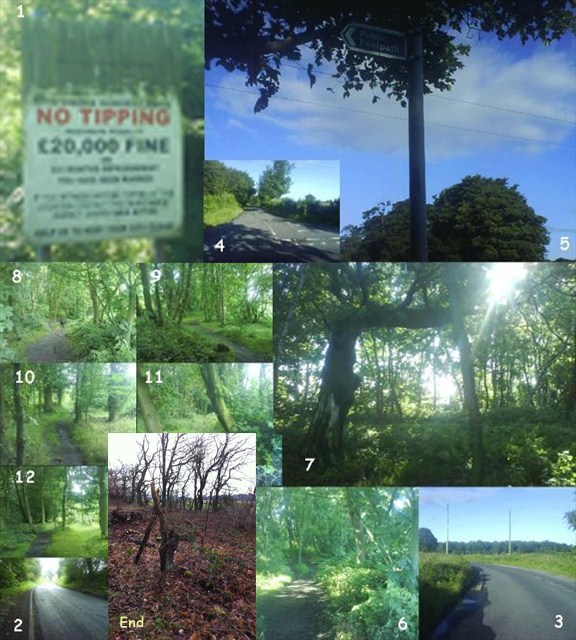
They do follow from the given co-ords right to the cache
site.
Cache now relocated and more pictures added... along with some
numbers as I believe it was too messy...
Good luck, if you want to print the photos, use the link just above
the logged visits.
Cheers MaxKim