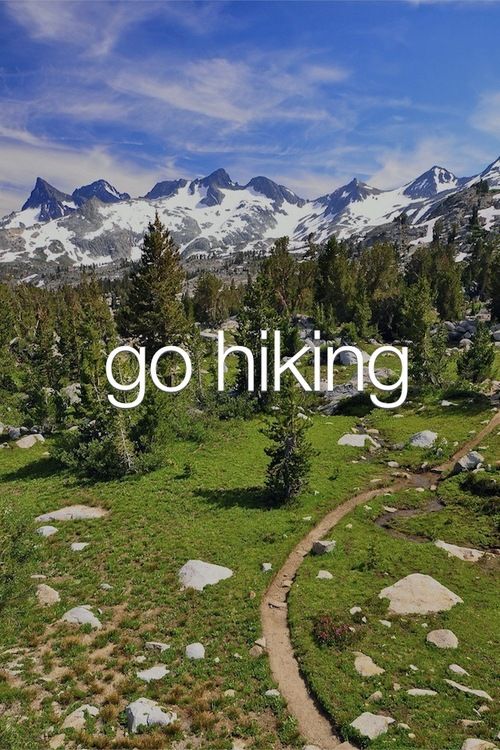
It has been far too long since Geocachers have had a "Let's Go For A Hike" Event - a series of events started by famed Colorado Geocaching family Memfis Mafia. Let's remedy that! The event will take place at the POSTED COORDINATES from 1:30PM to 2:15PM on Saturday June 23rd. Get there however you can, and plan adequate travel time!
For those whom aren't familiar with the LGFAH geocaching events, this will be a Meet and Greet style event. We will swap geocaching stories, trade and discover trackables, and just get to know one another.
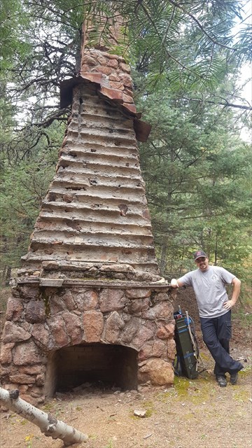
There is a twist: This event isn't in some comfy coffee shop or a busy restaurant. The event is near some sweet abandonded structures at 7,291 feet!
There are plenty of ways to access this event - most involve hiking. Extra points for style if you happen to parachute in or find another unique way to the event. Check the descriptions of nearby caches for some cool ideas on how to get here. The following is copied from the closest cache to the event itself:
You can approach this cache from a couple of different directions: via the Mt Muscoco trail off of the Mt Cutler trail, from the Daniels Pass trail off of N. Cheyenne Canyon Rd, or the other end of the Daniels Pass trail off of Gold Camp Road. The hike from N. Cheyenne Canyon Rd is probably the shortest, but it is quite steep and slippery, and will require you to cross the stream, which may not be possible depending on the run-off.
If you decide to go from N. Cheyenne Canyon Rd, go up the road past the Mt Cutler trailhead until you see the 2 mile marker (about 1/2 mile from Mt. Cutler). There will be a wide spot to park on the uphill side of the road, and smaller place to park on the downhill side. From the parking area on the downhill side, walk down to the creek side, and look for a convenient place to hop the rocks to the other side. BE CAUTIOUS if the creek is running fast and/or deep. The rocks are slippery and you may be swept off your feet.
Once on the other side, you'll find the trail heading up hill. Continue to where the trail intersects with the Muscoco Trail, and then continue across the trail and continue south. The trail is easy to find from the intersection, and once you're about .14 miles down, look for the trail forking to the right. From here, the trail is not always very obvious due to being quite over grown. ... Keep following the trail for a little over a mile, and you'll be rewarded. The total round trip hike from N. Cheyenne Canyon Rd is around 3.75 miles. Add about a mile if you come from Mt. Cutler.

Don't forget! You are outside in Colorado. Be prepared for whatever mother nature might throw at us! I will try to make announcements closer to the event date regarding predicted condtitions, however you should always be prepared for anything.
See you at the settlement!