Ole Buck Trail West err... East Traditional Geocache
Ole Buck Trail West err... East
-
Difficulty:
-

-
Terrain:
-

Size:  (small)
Please note Use of geocaching.com services is subject to the terms and conditions
in our disclaimer.
The problem with naming caches and finder's cards before heading
out is that if you can't find the place that fits the name or you
put them in the wrong place, you look a bit foolish. For the Ole
Buck Trail caches, they were cleverly named East and West and it
wasn't until arrival at the west location that it was realized that
the West cache was already placed in the east location. Hmmm...
long walk back or edit the name??? Now the name is explained. The
West cache is in the east and the East cache is in the west.
This cache was placed along the Ole Buck Trail that can be accessed
from the Sibbald Lake PRA parking area or the Sibbald Viewpoint
parking area using the Sibbald Forest Exhibit Trail until you cross
the bridge over Bateman Creek to the Old Buck Trail loop. The
return hike is about 4.4km with an elevation gain of just under
150m while using the complete loop trail.
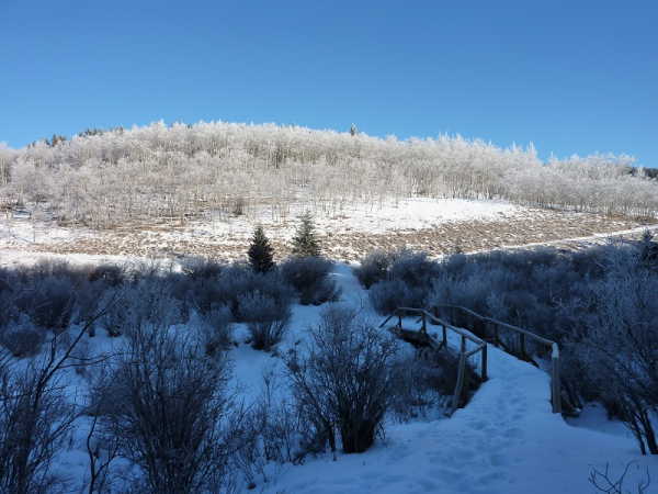
Bateman Creek Bridge
Snowshoe Trail

This cache is a camo taped 600ml LnL that was placed under 2km from
parking using the counter clockwise direction. It contains $5 and a
finder's card for the first to find, finder's cards for the next 9
finders, pencils, a logbook and a bit of swag. Come out and take in
the views. Snowshoes would be of help during the winter months.
Good Luck!
Congratulations to
Sleepy_hollow on being FTF
Additional Hints
(Decrypt)
Ng gur oraq bs n oebxra gerr. Ryringrq jvagre sevraqyl cbfvgvba. Nccebnpu sebz gur raq naq yvsg bhg. Frr fcbvyre.