************************************************
If you would like to add more caches to this series, please feel free to do so! Please contact heartradio through his profile first so that he can keep track of numbers and avoid duplications.
************************************************
A short multi around the beach of Branscombe.
To find the cache, you'll need to visit the waypoints and collect information to assist you in your inevitable mission to find the final cache.
************************************************
Stage 1 (Headline Coordinates) - Bridge
- How many horizontal stone slabs make up the bridge? Answer = A
Stage 2 - Noticeboard
- At the noticeboard by the bridge entitled 'Branscombe Mouth', what year was the waterwheel constructed? Answer = 1BCD
Stage 3 - Anchor
- How heavy (in tonnes) is the anchor? Answer = EF
Stage 4 - Benches
- On the flat bench, how many letters in the man's first name? Answer = G
- What year was he born? Answer = 193H
The final cache is at N50 41.[H-G][D-E][F+G] W003 07.[B-C-E][B*E][F*A]
************************************************
Branscombe is a village in the East Devon district of the English county of Devon. The parish covers 3,440 acres (1,390 ha). Its permanent population in 2009 was estimated at 513 by the Family Health Services Authority, reducing to 507 at the 2011 Census. It is located within the East Devon Area of Outstanding Natural Beauty, overlooking Lyme Bay.The name of the parish is probably Celtic in origin. It is made up of two words, "Bran" and "cwm". Bran is a well established Celtic personal or tribal name that may also mean "black" or "crow black". Cwm is a topographical term still in use in English as well as modern Welsh to describe a steep-sided hollow or valley. So the name may derive from the first Celtic family or tribe to take possession of the land, probably from the Dumnonii tribe, sometime between 2000–2700 BC. From the 17th to the 19th centuries, Branscombe was a source of hand-made lace, and Branscombe Point is a style that is still practised by lacemakers worldwide. Fishing was also a traditional industry, as well as source of food.
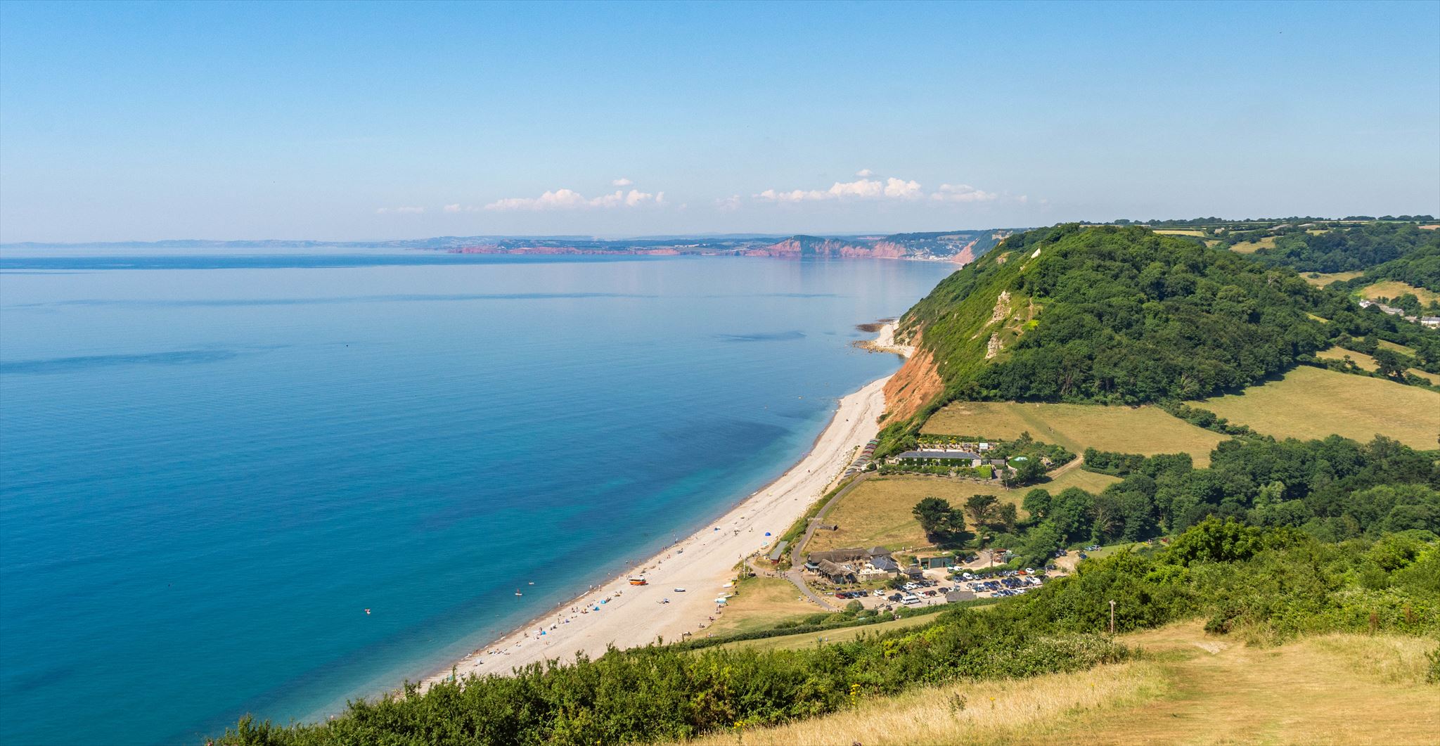
Branscombe's principal industries are farming and tourism, although a significant number of permanent residents are retired. In 2009 over half the estimated population were aged over 50. The village straggles along narrow roads down steep-sided valleys, terminating at a shingle beach, Branscombe Mouth, which forms part of the East Devon and Dorset Jurassic Coast. To either side of the beach, the coast rises steeply to cliffs, which are in the ownership of the National Trust. It is a popular point for starting walks on the South West Coast Path; it is a short walk eastwards to Beer (with two alternative routes, one at the top of the cliffs and the other ascending the cliffs via the interesting Hooken Landslip area also called the Undercliff) and a longer walk westwards towards Sidmouth.
************************************************
PLEASE REPLACE THE CACHE EXACTLY AS YOU FOUND IT
NO SPOILERS PLEASE,OTHERWISE YOUR LOG OR PICTURE WILL BE DELETED, AND YOU WILL BE ASKED TO RE-LOG WITHOUT THE SPOILER
Thanks to the National Trust for giving permission to place this cache.