I've travelled this highway no less than a dozen times and even since we commenced geocaching the Moneybox team has crossed the Nullarbor Plain three times and it's still a great trip.
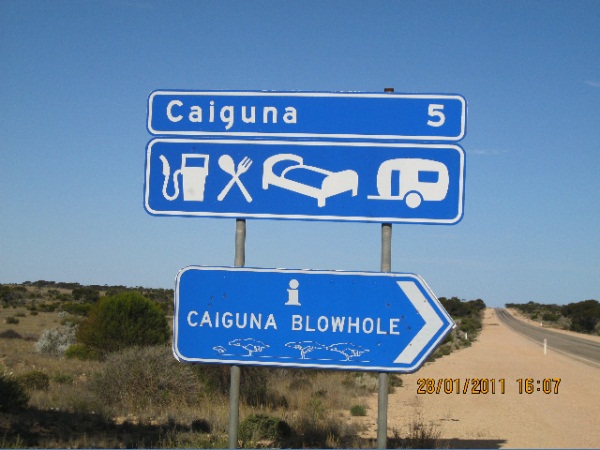
You will find the blowhole right on the edge of the Eyre Highway. There is free public access to the area.
As you would expect from a desert the Nullarbor has arid to semi-arid conditions and extreme temperatures. Rainfall averages around 200mm per year. The days can see temperatures nearing 50°C (even though the average daily max in summer is only 25°C!) and nights can be freezing. The average night temperatures range from 7°C in winter to 17°C in summer.
As the name indicates (Null-arbor = zero trees), there aren't any trees. The sparse vegetation consists of low saltbush and blue bush scrub so come prepared. You should have ample water and protection from the extremes of heat and cold.
The Nullarbor is officially the earth's largest piece of limestone (200 000 km2 and 1200 km from east to west at its furthest point). The Nullarbor Plain is the section of southern land between Norseman in Western Australia and Ceduna in South Australia. It is Australia's largest karst region. The Nullarbor is a series of flat tiers formed under the sea. Crustal movements lifted the area and wind and rain smoothed it out.
Cocklebiddy is where you will find the largest of all the Nullarbor Caves (explored to a distance of over 6.4 kilometers). The Murrawijinie Caves are one of the few areas where the southern ocean blows through subterranean caves creating blow holes that are open to the public. They are about 10 km north of the Nullarbor Roadhouse and you will need exact directions and a sturdy 2 wheel drive car to reach them.
You may log this Earthcache straight away but then please email your answers to the questions to the CO. We will contact you ONLY if your answers need extra work. Logs with no answers sent will be deleted.
Q1. How have blowholes on the Nullarbor been formed?
Q2. The speed of the blowhole's breathing is related to..?
Q3. What air speed has been measured at one Nullarbor cave entrance?
Q4. Measure/Estimate the air temperature in at the blowhole entrance. Measure/Estimate the ambient temperature when standing in front of the interpretive signs (20 metres from the hole). What is the difference in your two readings?
Q5. Which direction is the airflow, into the cave or out?
Q6. Measure/Estimate the speed of the airflow into or out of the blowhole.
 Inside Cocklebiddy Cave
Note: Fuel and basic supplies are available every 200km or so.... however, you should come prepared for the unexpected. We have at times struck extreme temperatures of up to 53.5 Deg C and also passed multiple service stations out of order due to violent storms that passed through the night before.
Congratulations to Bushies2 for your FTF.