Wodospad Trzy Wody – największy wodospad położony na terenie Czrnorzecko – Strzyżowskiego Parku Krajobrazowego. Wodospad tworzy niewielki potok leśny stąd ilość przepływającej wody jest różna w zależności od pory roku. Wraz ze wzrostem zasobów wodnych górnych części cieku wodnego wzrasta przepustowość samego wodospadu. Wodospad ma ok. 5 metrów wysokości, jego szerokość to ok. 6 metrów u podstawy i niecałe 2 metry u szczytu.
Wodospad zbudowany jest na tzw. wychodni gruboławicowych bloków piaskowych ułożonych warstwowo pod kątem ok. 45 stopni. Piaskowiec jako skała powstała w procesie cementacji (łączenie drobin piasku za pomocą spoiwa) charakteryzuje się różną grubością ziaren tworzących bloki. Wyróżnić możemy trzy podstawowe frakcje budujące te skały: drobną 0,1 – 0,5 mm, średnią 0,6 – 1,5 mm oraz gruboziarnistą powyżej 1,5 mm. Skały tworzące progi skalne wchodzą w skład tzw. piaskowców ciężkowickich czyli skał wieku eoceńskiego występujących na znacznych obszarach Karpat. Stratygrafia eocenu wyróżnia cztery piętra tej epoki: iprez, lutet, barton oraz priabon. Wiek skał tworzących wodospad szacowany jest na około 35 mln lat co w sensie chronostratygraficznym klasuje je jako najmłodsze piętro eocenu – priabon.
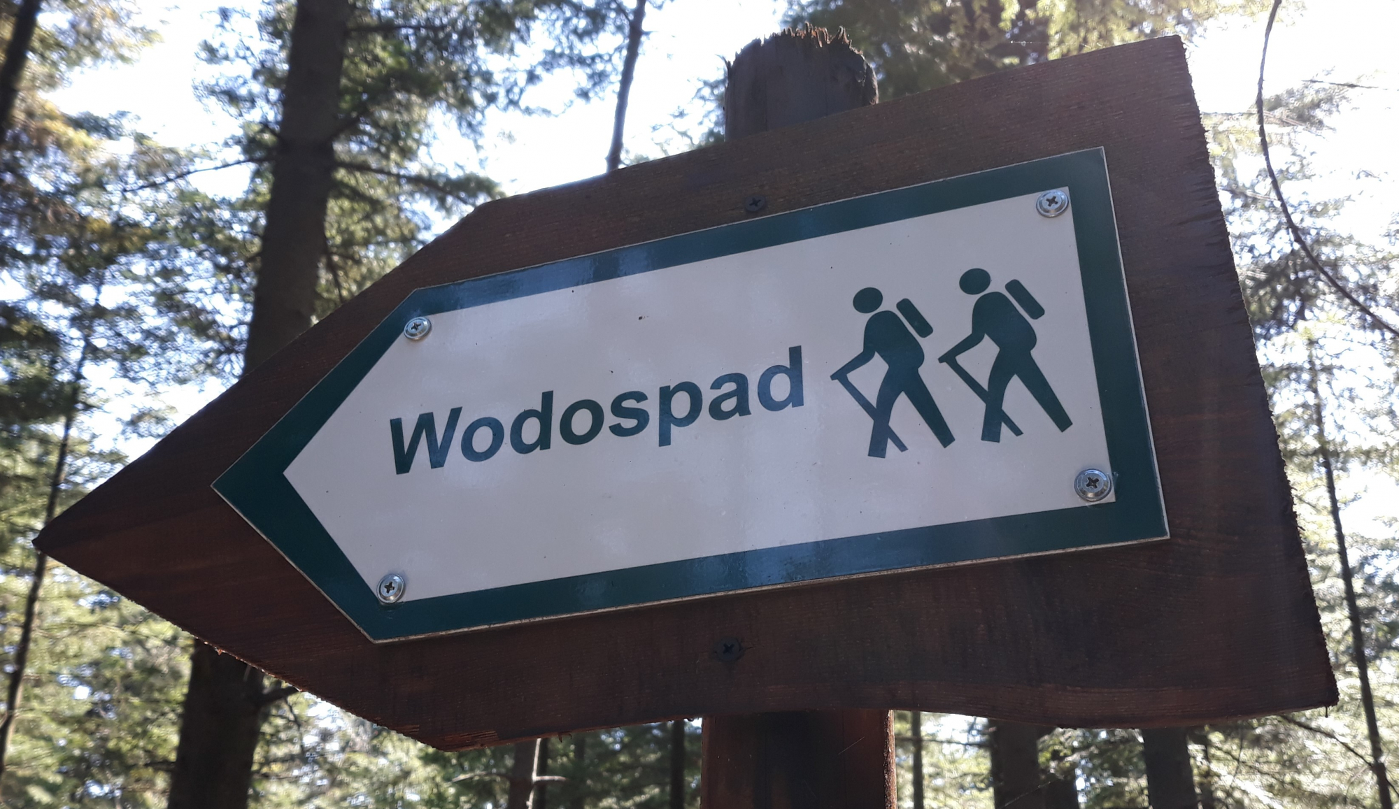
Do wodospadu można dotrzeć specjalną ścieżką przyrodniczą utworzoną w 2008r z inicjatywy Radnych Gminy Korczyna.
Aby zalogować eartha udaj się na miejsce i odpowiedź na poniższe pytania:
- Będąc na miejscu dokonaj pomiaru grubości ziaren tworzących wychodnię piaskowca. Czy według ciebie jest to piaskowiec drobno - średnio - czy gruboziarnisty?
- W którym piętrze eocenu powstały piaskowce tworzące wodospad, w najstarszym czy najmłodszym?
- Co według ciebie oznacza termin „wychodnia”?
- Opcjonalnie – Twoje zdjęcie z wodospadem w tle.
“Three Waters” Waterfall - the largest waterfall located in the area of Czrnorzeki - Strzyżów Landscape Park. The waterfall create a small forest stream, hence the amount of water flowing varies depending on the season. With the increase of water resources of the upper parts of the watercourse, the throughput of the waterfall itself increases. The waterfall is about 5 meters high, its width is about 6 meters at the base and less than 2 meters at the top.
The waterfall is built on the so-called outcrop of thick-bed sand blocks arranged in layers at an angle of about 45 degrees. Sandstone was created in the process of cementation (combining sand particles with the help of binder) is characterized by different thickness of grains forming blocks. We can distinguish three basic factions that built the sandstones: fine 0.1 - 0.5 mm, medium 0.6 - 1.5 mm and coarse grain size over 1.5 mm. Rocks forming thresholds are part of the so-called Ciężkowice sandstones -the rocks of the Eocene age occurring in significant areas of the Carpathians. Eocene stratigraphy distinguishes four floors of this era: iprez, lutet, barton and priabon. The age of the rocks forming the waterfall is estimated at about 35 million years, which in the chronostratigraphic sense, classifies them as the youngest floor of the Eocene - the priabon.
The waterfall can be reached by a special natural path created in 2008 on the initiative of the Councilors of the Korczyna Commune.
To log in an eartha, go to the site and answer the following questions:
- Measure the thickness of the grains forming the sandstone outcrop. Do you think it is a fine - medium or coarse sandstone?
- In which floor of Eocene were formed sandstones forming a waterfall, in the oldest or the youngest?
- What do you think the term "outcrop" means?
- Optional - your photo with a waterfall in the background.